South Dakota? What’s in South Dakota?
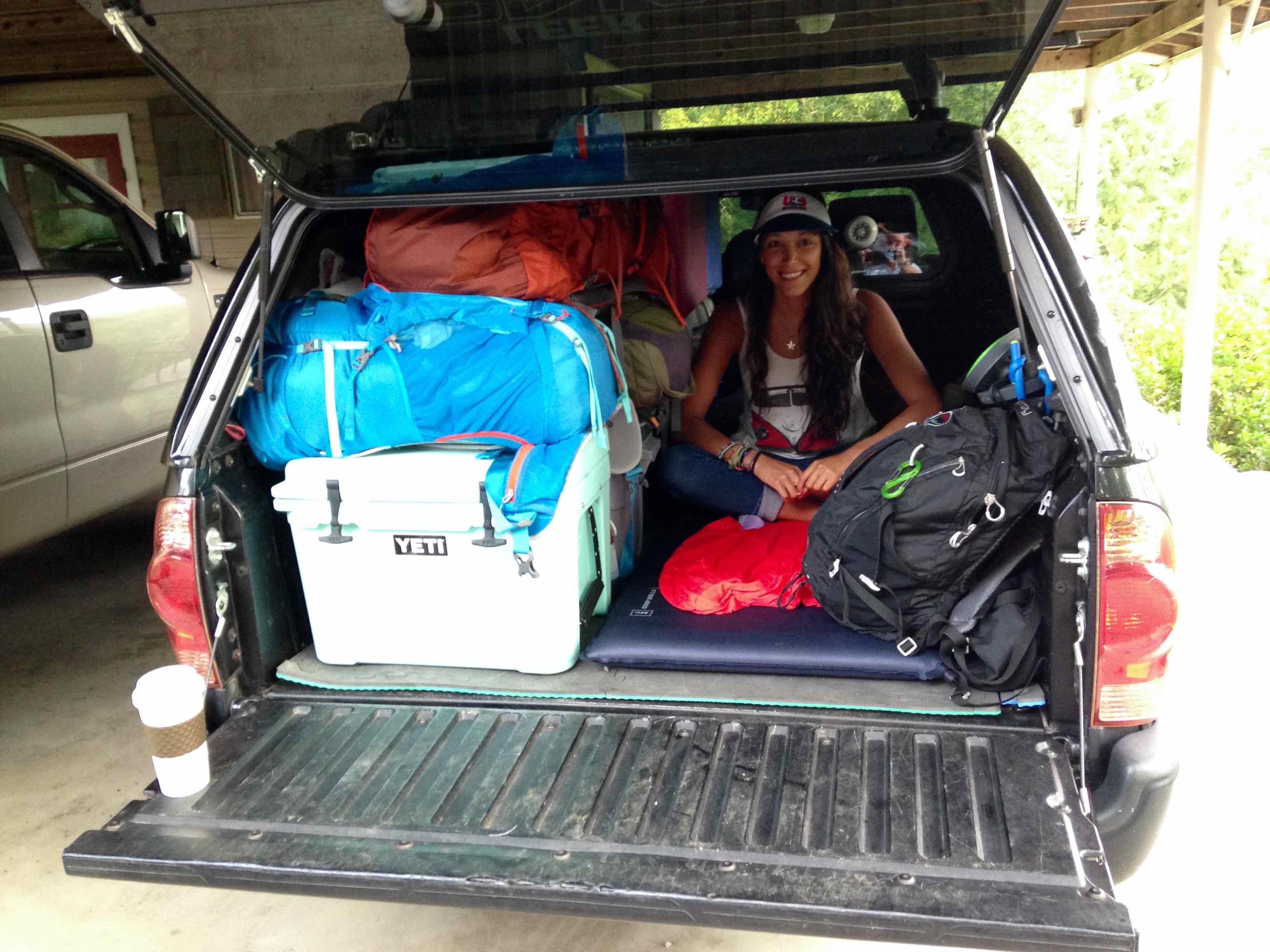
We had 2,276 miles to drive to Glacier National Park in NW Montana. It was our first destination & the longest leg of our wild west USA road trip, & I didn’t see how South Dakota warranted any sort of stop. Not only did we have to meet up with some friends in Glacier in a few days, but we were also rolling 3 deep in my brother’s regular cab Toyota Tacoma, which meant that someone had to ride in the back of the truck for all 2,276 of those miles. I wanted to get there as quickly & safely as possible.
“Believe me dude, the Badlands & Black Hills of South Dakota are awesome. I’ve been wanting to go back & explore them better ever since I went a few years ago.” my brother responded.
His stamp of approval & my eagerness to get on the road were enough, so at 7am on the bright morning of July 5th, 2014, we pulled out of our Georgia driveway to start our wild west American road trip.
Disclosure: We were only 3 deep on this roadtrip from Georgia to Montana. Gio flew to Colorado from Montana, and my brother & I continued the rest of the roadtrip solo. I’ll admit, it was dangerous & not convenient, but I really wanted my girlfriend to see Glacier NP. Plus, looking on the bright side, it was just 2,276 out of the total 9,454 miles, so someone’s life was in peril only 24% of the entire roadtrip.
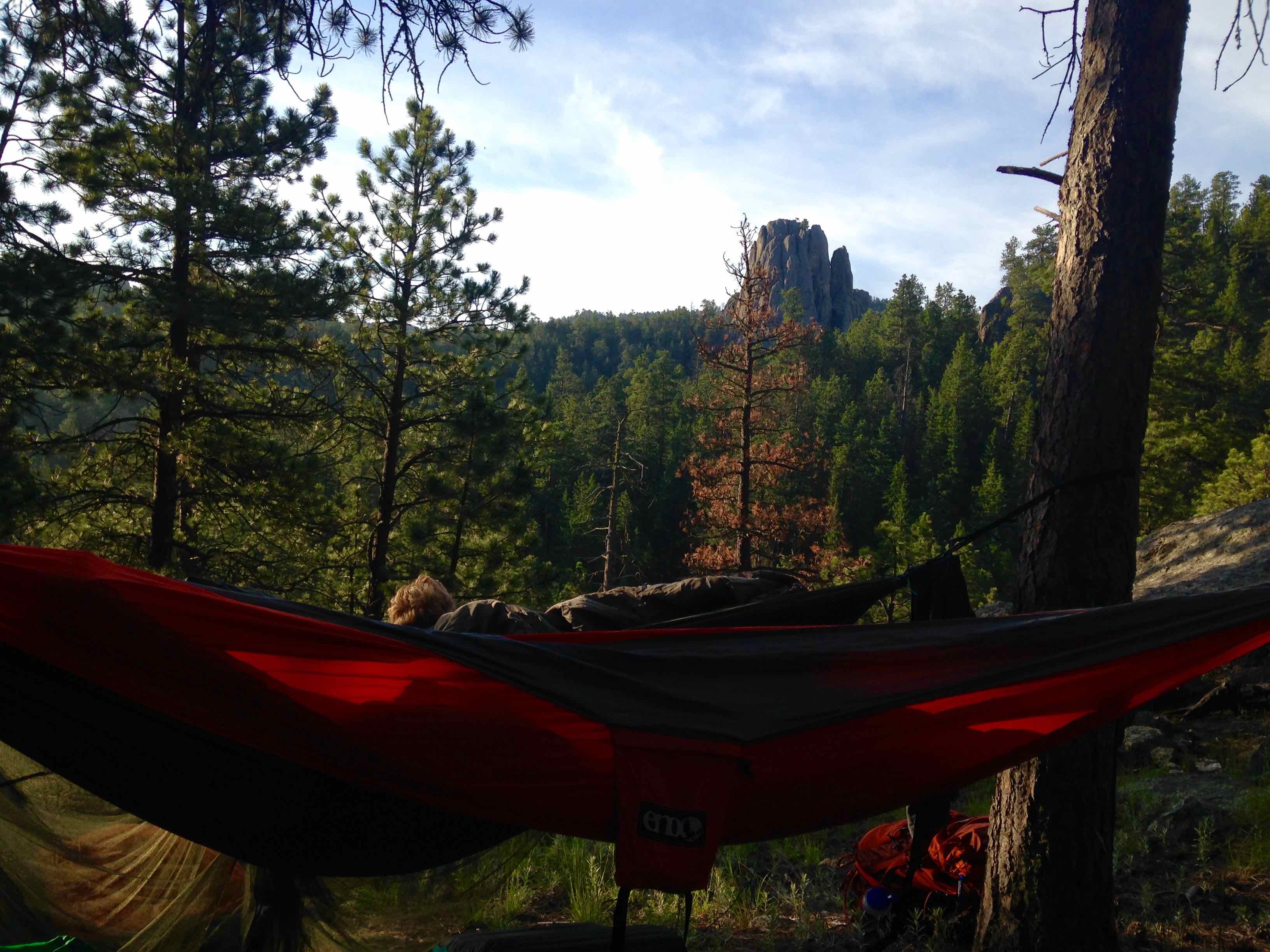
The photo pretty much represents the entire first part of the trip (at least after crossing the Mississippi River until reaching the Badlands)
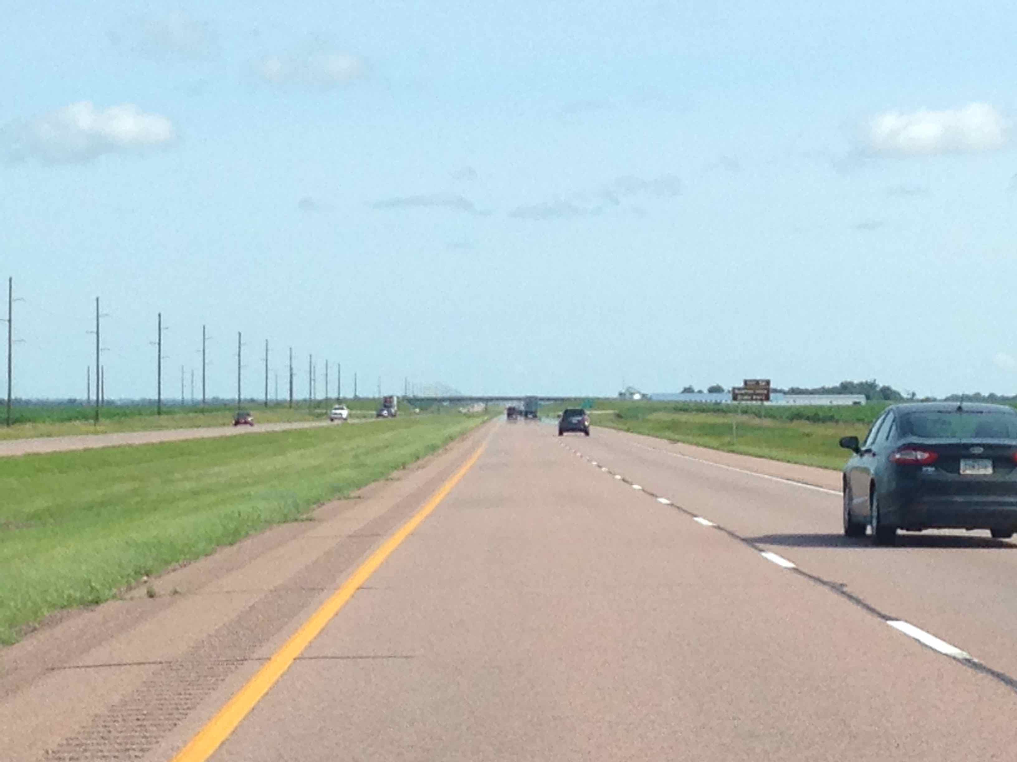
Eastern South Dakota
Ehhhh, not so much. Those nearly 400 miles one must drive on I-90 across South Dakota are grueling. Highlights include: passing Laura Ingalls Wilder’s childhood hometown, finally crossing the Missouri River, & Wall Drug advertisements every 10 miles (more on that later).
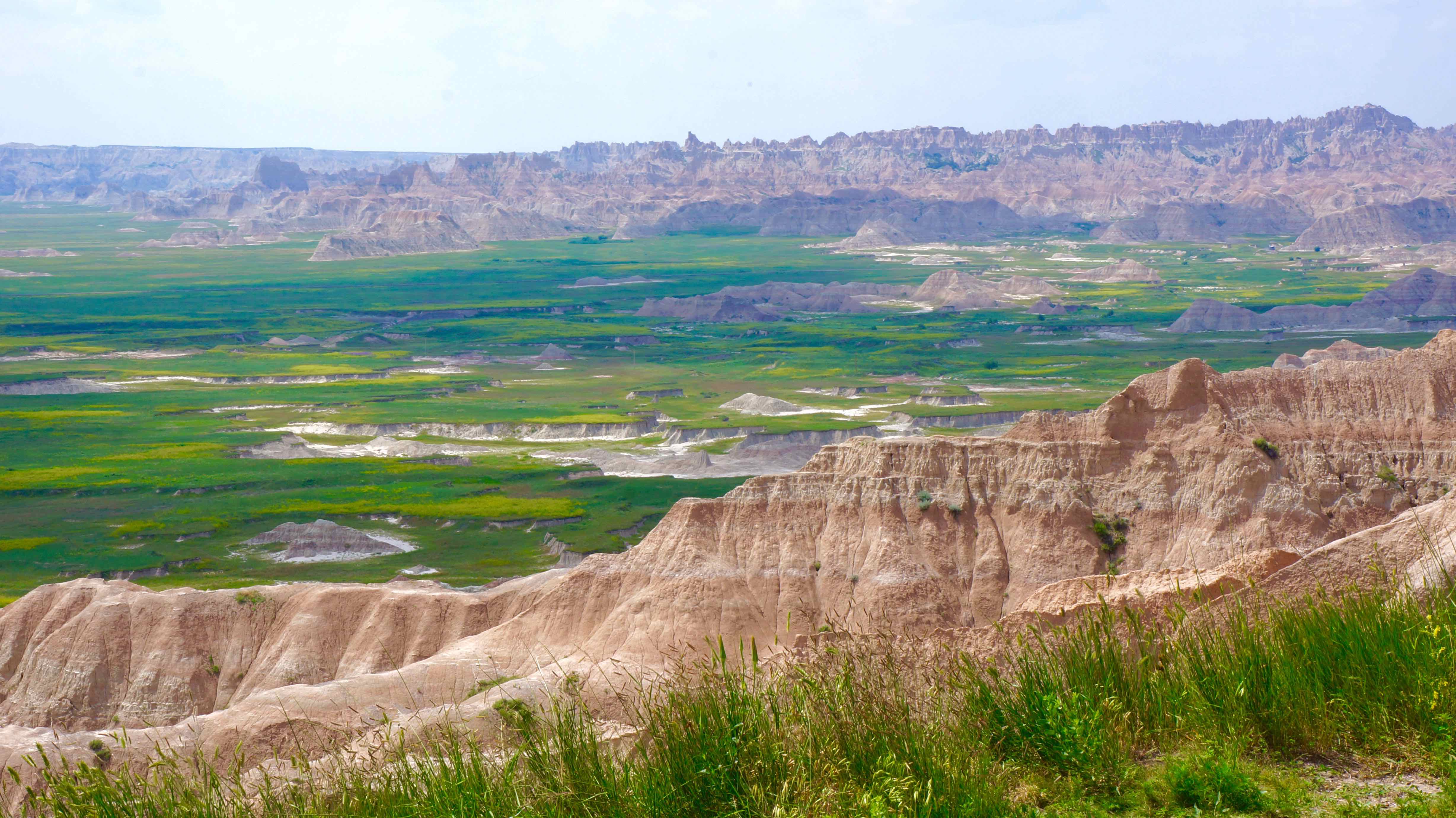
Badlands National Park
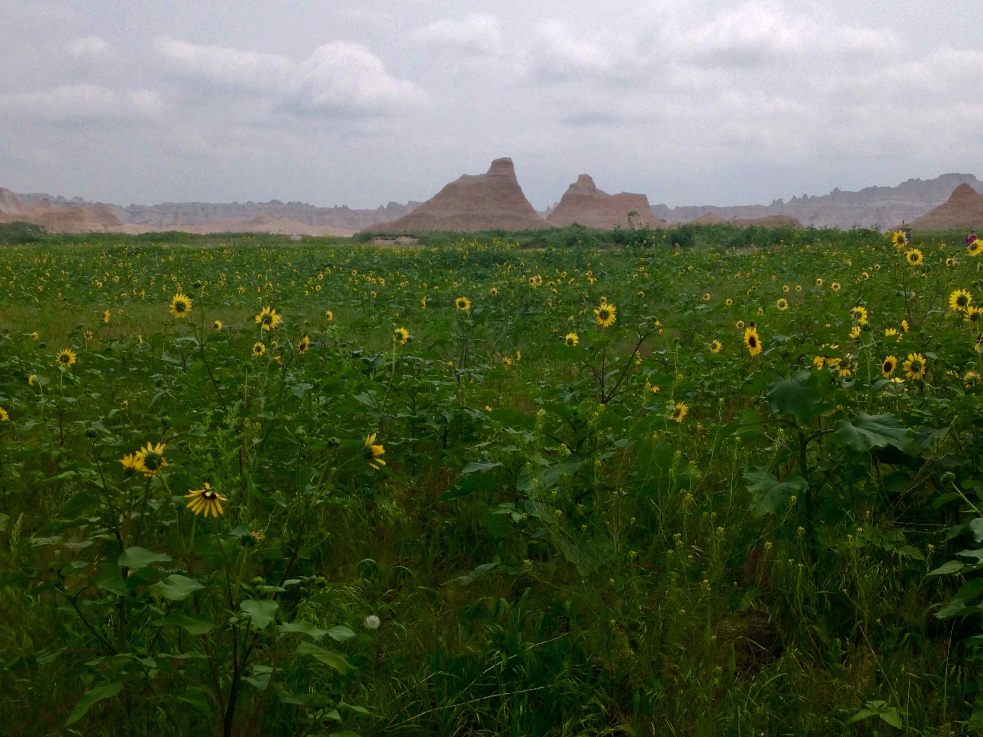
Just when you don’t think you can take any more Little House on the Prairie scenery, sharply eroded buttes, spires, & pinnacles begin to rise from the prairie grass out of seemingly nowhere. It’s hard to believe your eyes at first, not only because of the monotonous 400 miles that you just drove, but also because of how abruptly everything changes.
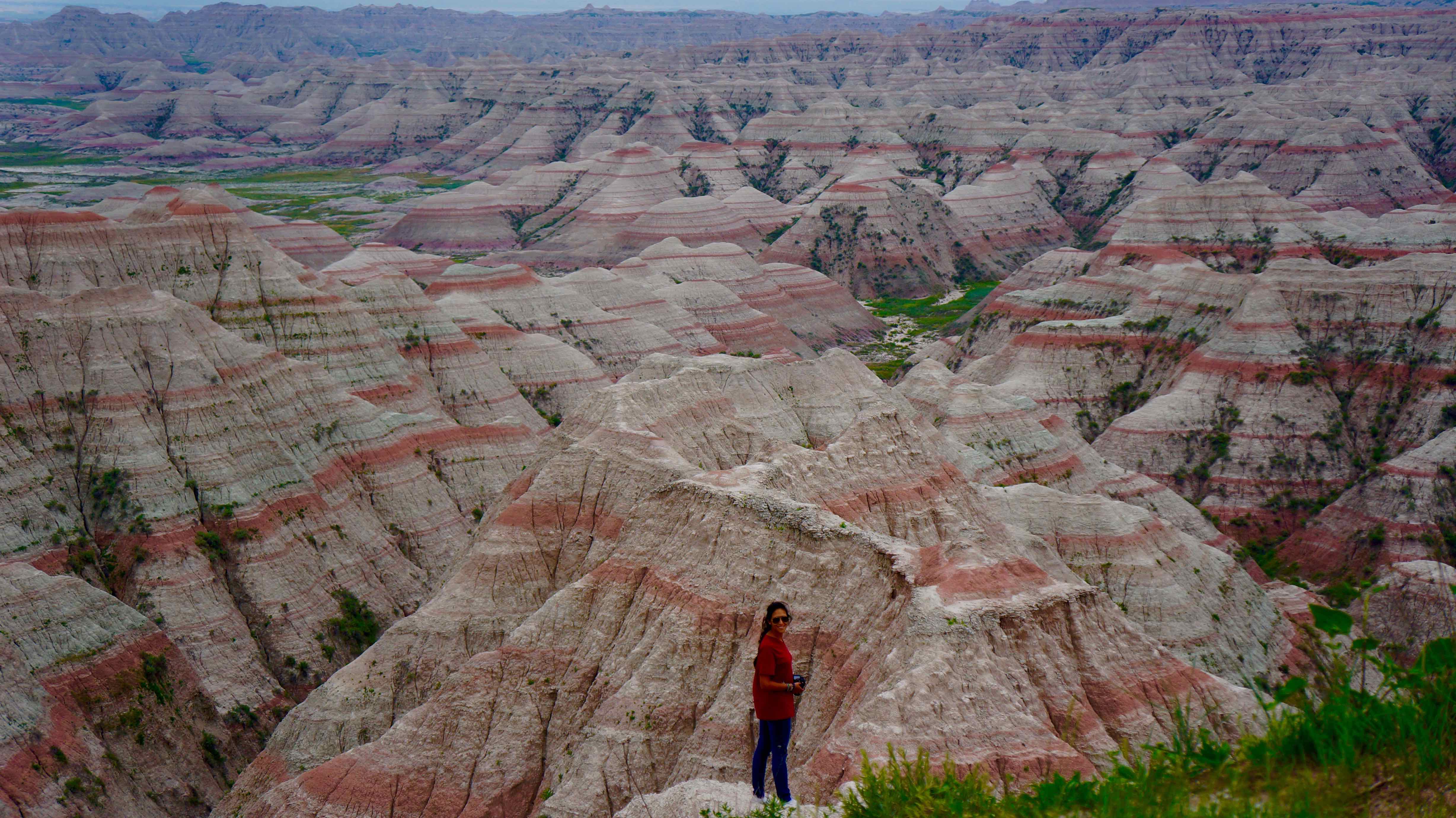
The start of the Badlands “wall”
Not only do the Badlands look unique, but it’s also been a huge destination for archaeologists & scientists as ancient fossils of extinct animals like the sabre-toothed tiger & various dinosaurs have been found here.
Suggested time: 2 days
What we did
- Castle Trail – the longest trail in the park, this trail snakes through idyllic flower prairie land flanked on all sides by sandy, eroded pinnacles & washed out gullies. You don’t have to hike the entire loop (10.8 miles), but can combine parts of the trail with other trails to double back for a shorter hike.
- Notch Trail – a shorty, but a goody. Hike through the crumbling hill tops, climb the rope ladder, and wander through a picturesque canyon to find the “notch” in the wall for a great view of the prairie lands.
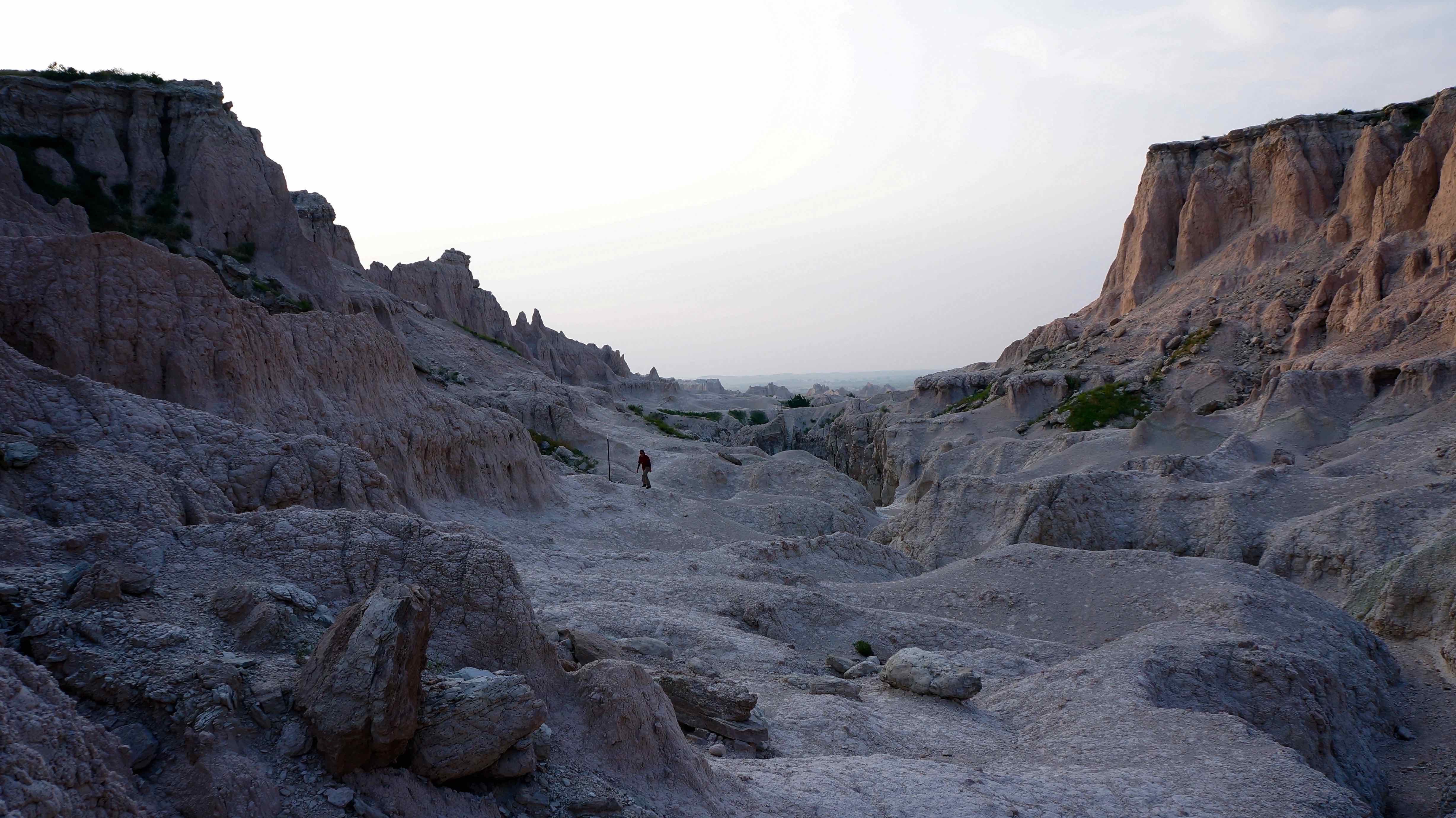
Notch trail, or the Moon?
- Saddle Pass Trail – best when combined with the Castle trail, the viewpoint provides one of the best vistas of the Badlands that there is.
Saddle Pass viewpoint
- Badlands Loop Road – this road winds on for 50 miles through the park, giving you one spectacular view of the Badlands wall after the other.
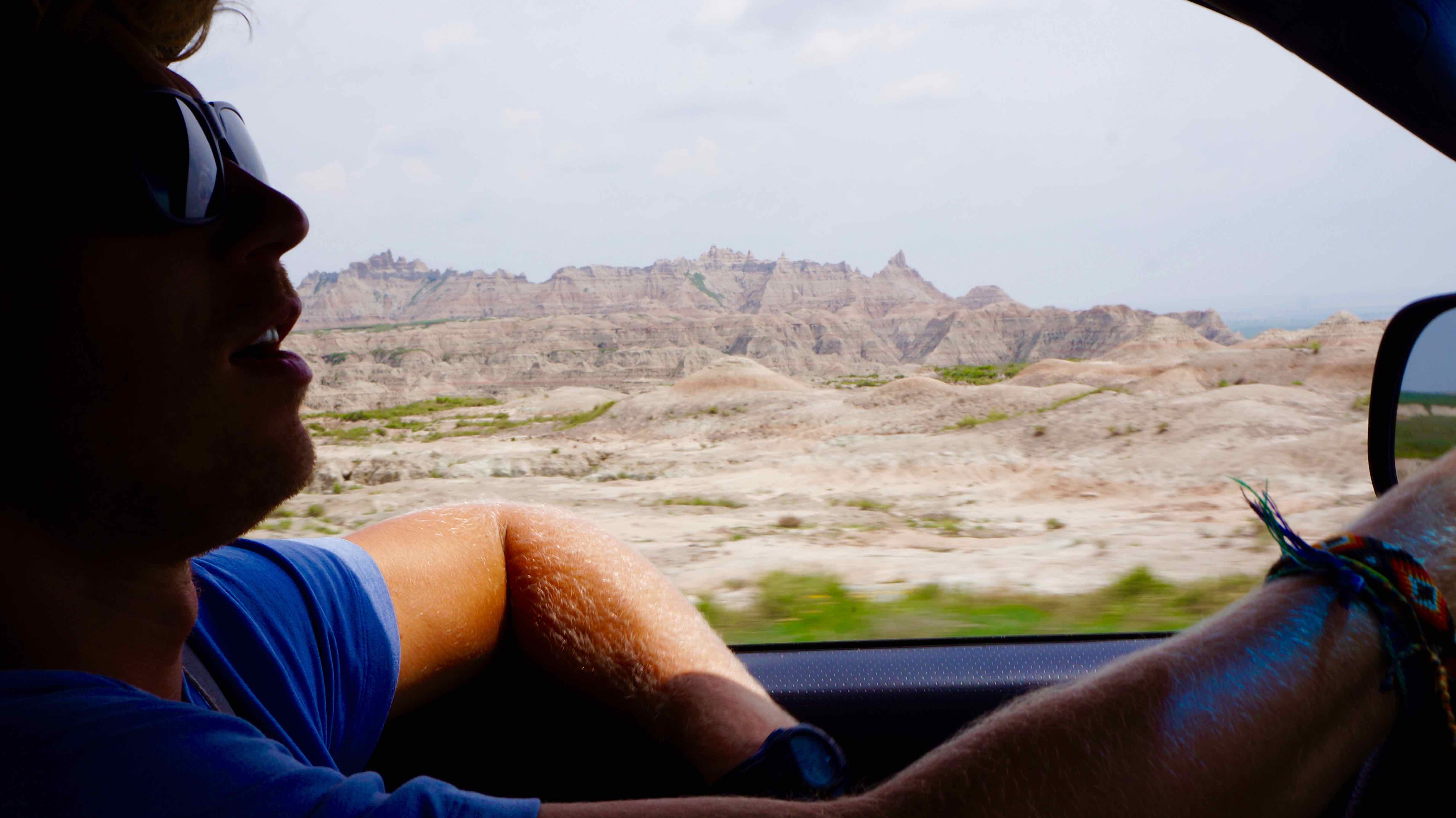
Driving the Badlands Loop Road
One of the stops on the Badlands Loop road
Located only 45 miles away, on the Lakota Pine Ridge Indian Reservation lies the National Historic Landmark of the Wounded Knee battlefield. On December 29, 1890, a scuffle broke out between a group of Lakota indians & the US cavalrymen while the army was attempting to remove the Lakota from their land. In the confusion that ensued, between 200-300 Lakota indian men, women, & children, mostly unarmed, were massacred by the US Army.
The event is widely considered to mark the end of violent conflict between white settlers & Native Americans in the USA. Although I’ve heard the actual site is not very maintained, I still wish I could have payed my respects & solemnly reflected upon a very dismal chapter in American history.
Where to stay:
Cedar Pass Campground, located in the park, or Badlands Interior Campground, located just outside the park, where we stayed for $18/night.
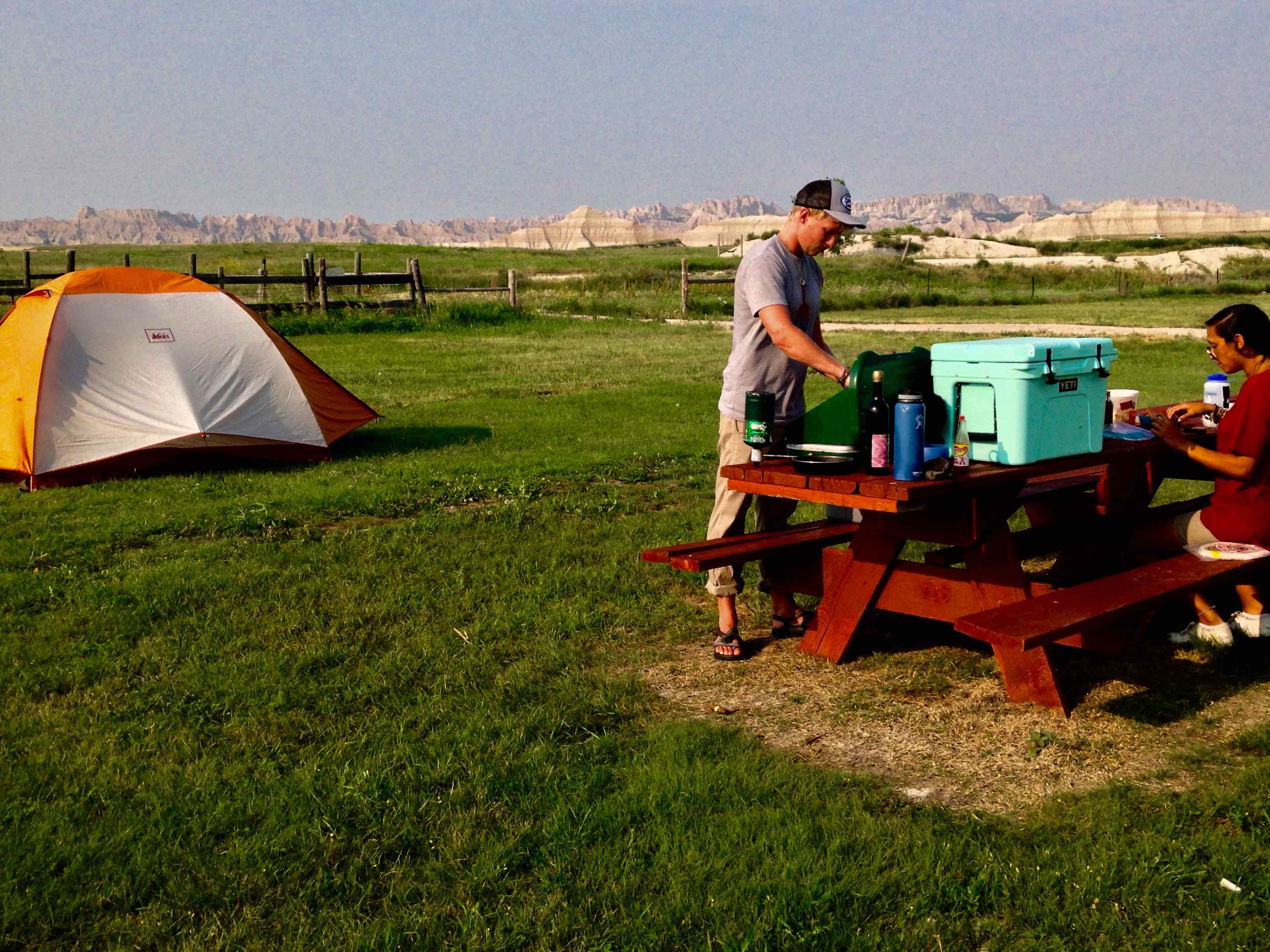
View from our campsite in Badlands Interior Campground
The Black Hills National Forest
The Black Hills, located about an hour west of the Badlands, also got their name from the Lakota Indian tribe. The sprawling evergreen forest so densely covers these rolling mountains that they appear black from afar. But it’s the countless boulder faces that sporadically jut out of the dense forest & dot the landscape that make this place really unique. It was one of these exposed boulder faces that was chosen to be the location of Mount Rushmore.
Suggested time: 3-4 days
What we did:
- Camped at Sheridan Lake – a beautiful lake, great for fishing, swimming, & picnicking. We camped on the south shore, but the north shore has a marina, boat ramp access, & the largest swimming beach in the forest.
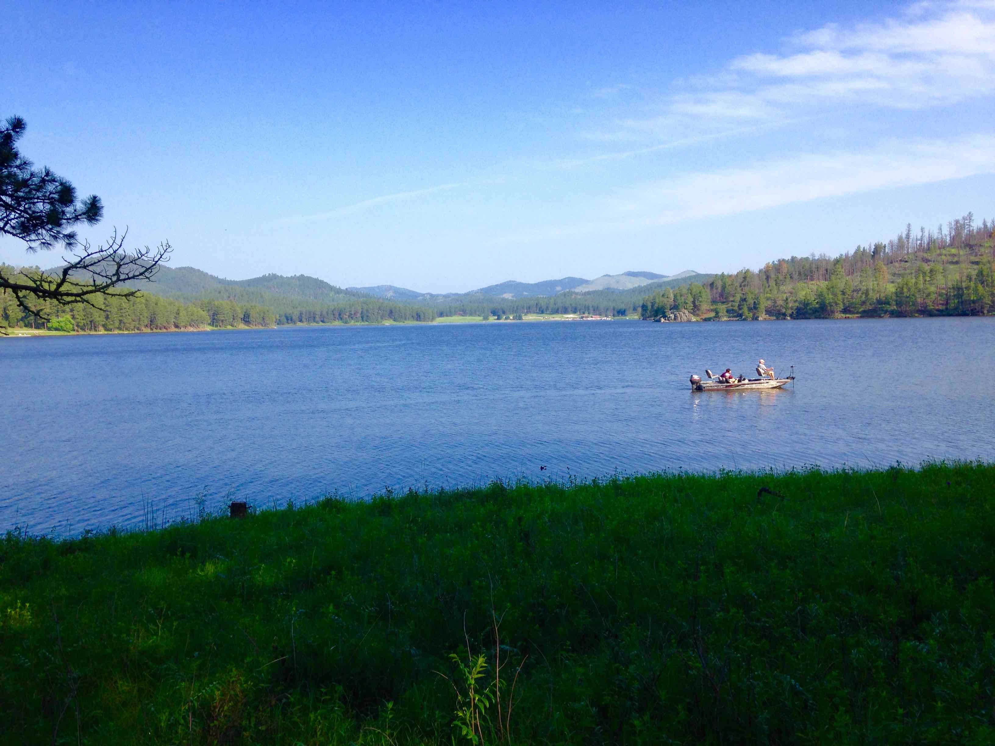
Our primitive campsite on a nice, grassy peninsula on Sheridan
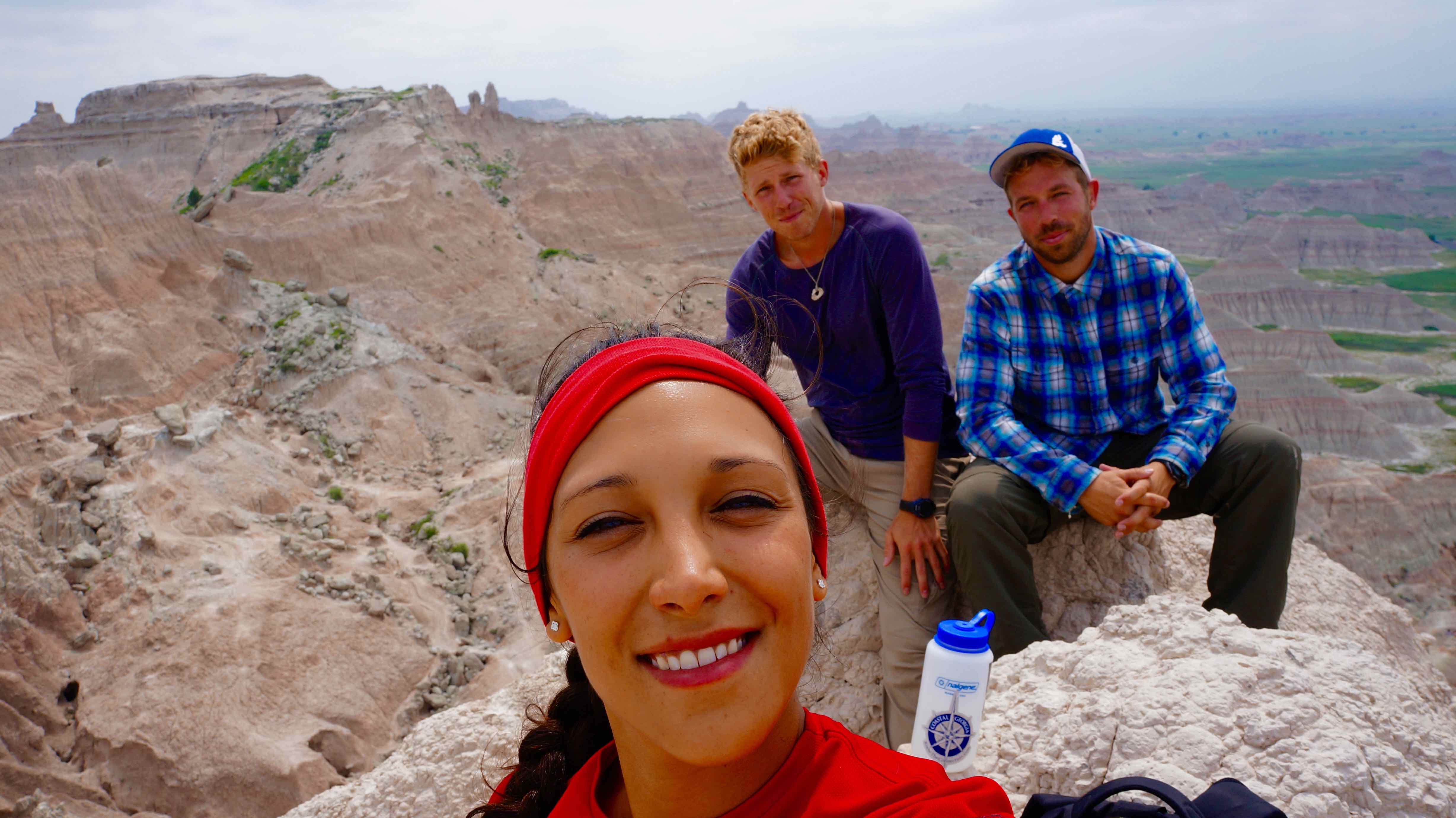
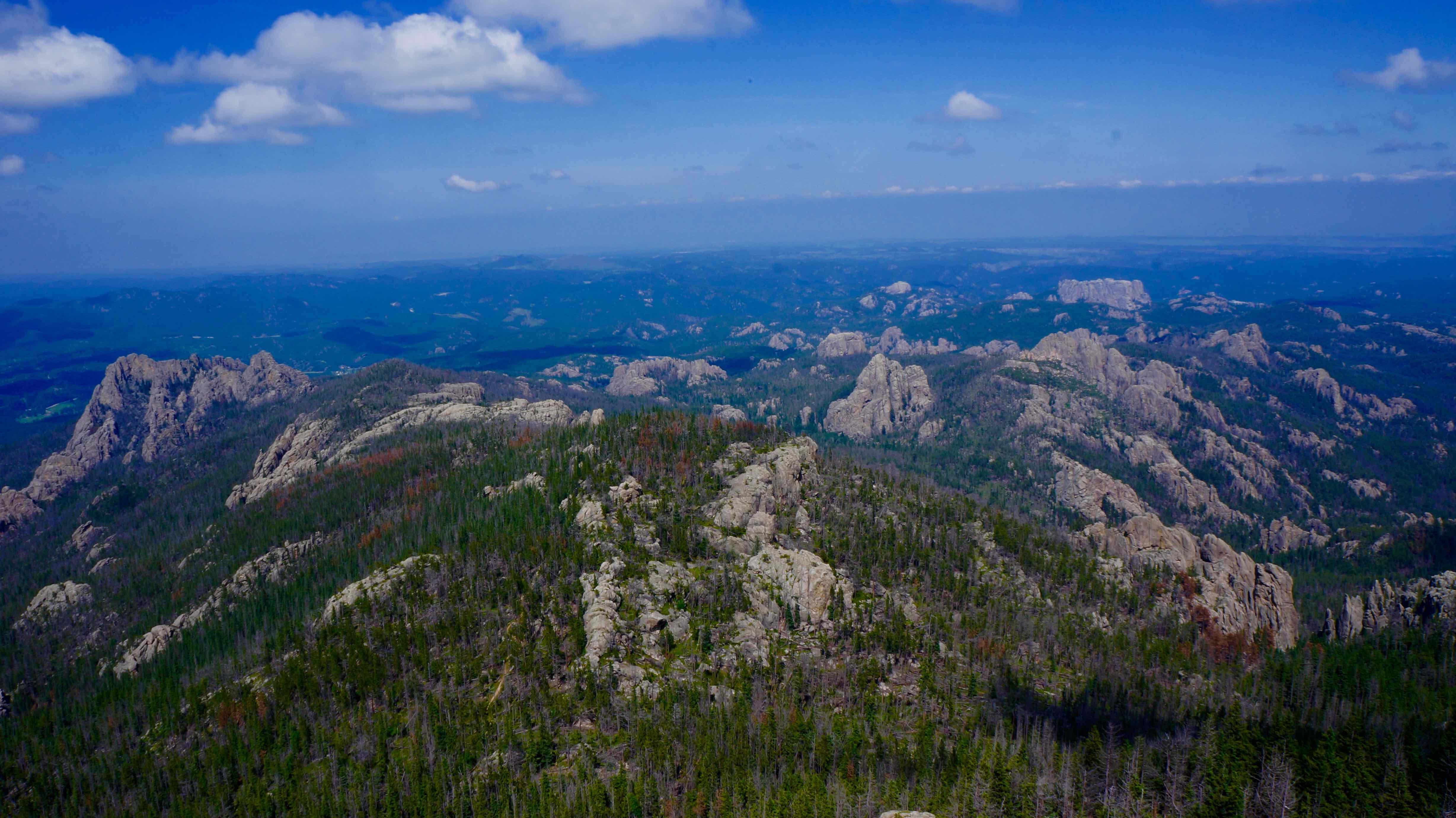
- Harney Peak – 7,242 ft (2,207m) tall (tallest point in the Black Hills & east of the Rockies). There are 2 main ways to hike Harney Peak: the easier, popular trailhead is at Sylvan Lake and is a 7 mile roundtrip hike with 1,100 ft in elevation gain. The more challenging, less-trafficked route’s trailhead is at Willow Creek Horse camp. It is roughly 11.6 miles roundtrip, & has 2,200 feet in elevation gain.
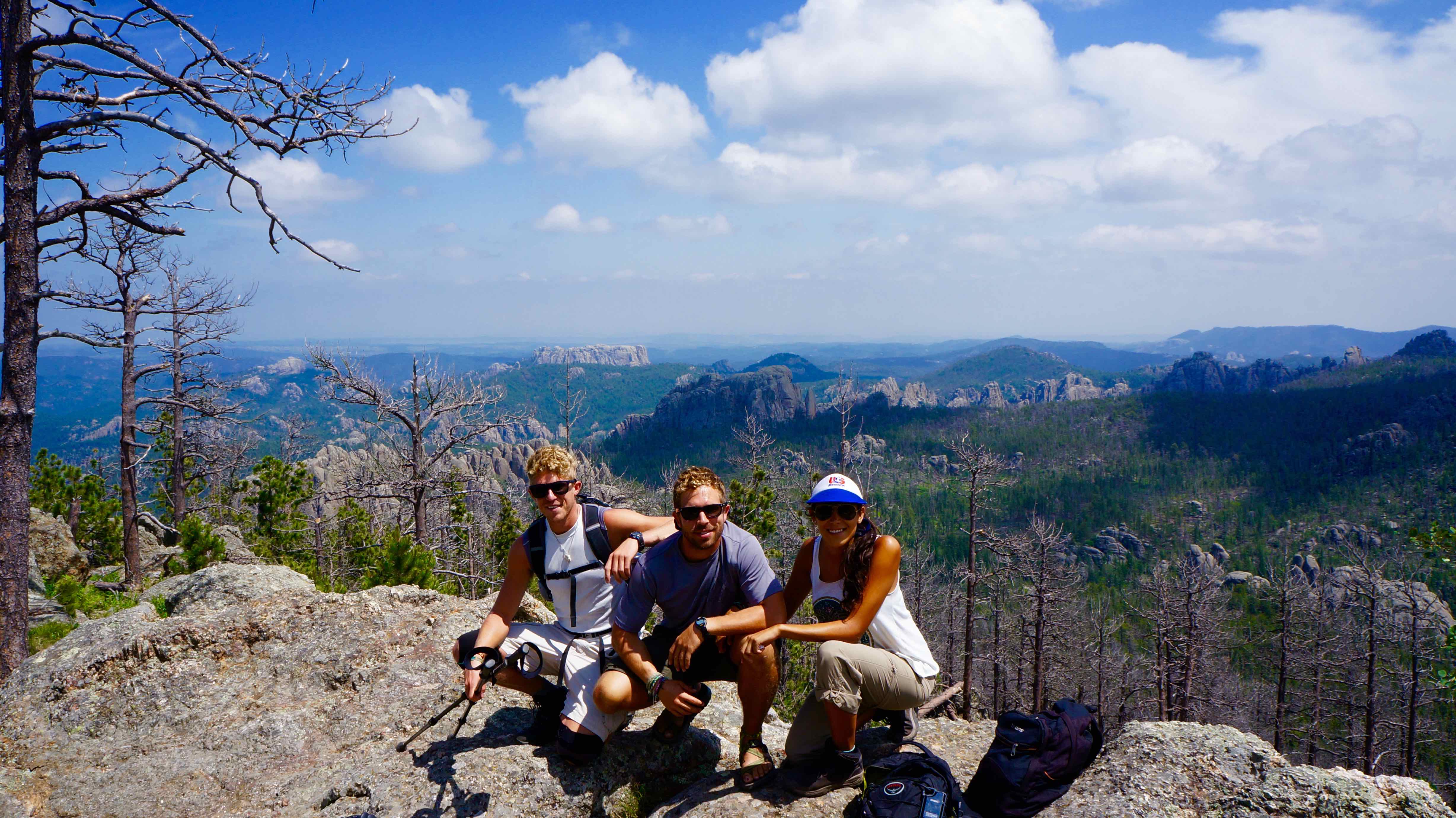
We started at Willow Creek Horse Camp
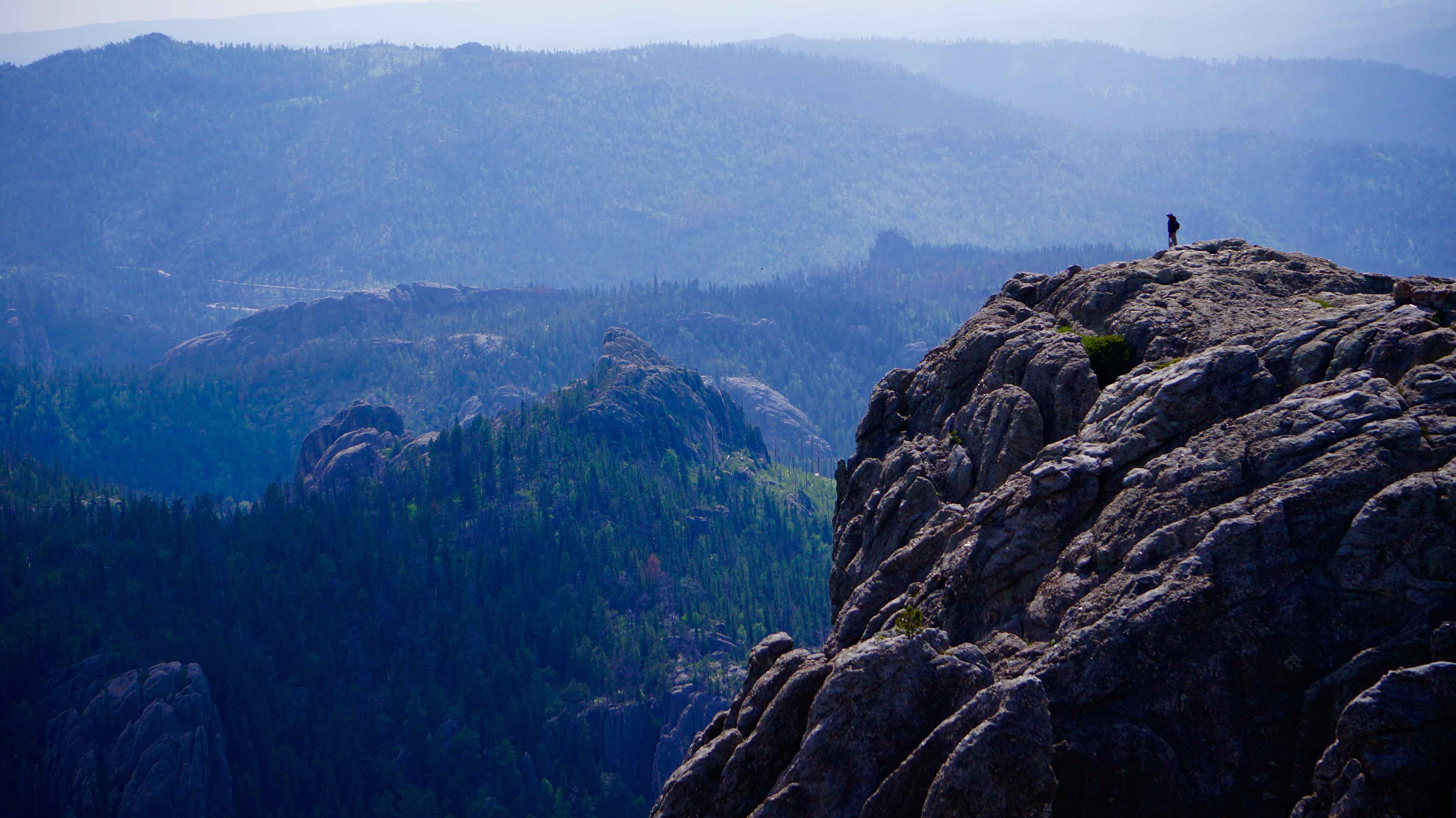
From the summit tower of Harney Peak
- Mount Rushmore – duh. Visiting Mount Rushmore is an obligatory experience for every American. Personally, I wasn’t expecting much more than thousands of fanny-pack toting tourists crowded around a fence and jostling for the best angle of George Washington’s nostrils. And for most people, that’s exactly what it is. But being the restless adventurers we are, we found another way to take in this great national monument.
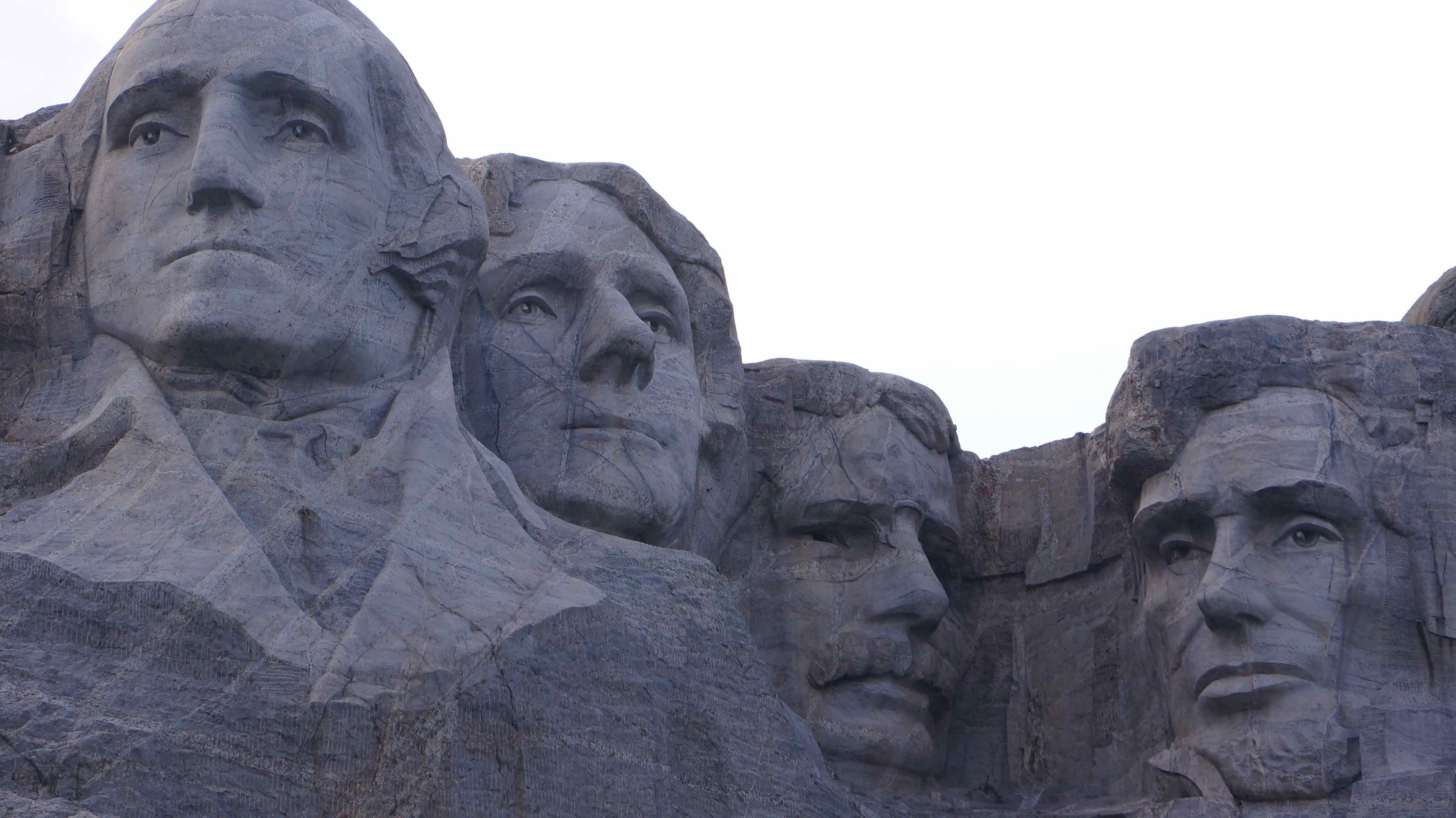
How We Made Mount Rushmore WAYYY Cooler
Part of the Rushmore experience includes walking the Presidential nature trail. It’s a 0.6 mile paved pathway that takes you on a loop past various views of the mountain. It’s accompanied with informative plaques about each presidents’ life.
The loop is meant to be walked clockwise, and as we started the down the nature trail to the left of the main viewing platform, it didn’t take us 2 minutes to push a few boundaries. As the path continues straight towards the presidents, a forested hill rises steeply to the left. We could barely make out through the trees what looked to be more giant boulders near the summit of the hill, and glancing over each shoulder, we quickly scampered off the path & up into the woods.
A 3-5 minute climb brought us to the top of this little side hill, which was indeed crested by giant, exposed boulders. It provided the PERFECT, private view of Mount Rushmore. You are guaranteed to be the only people up there, and the solitude & never-before-seen angle of one of the most photographed sites in the country certainly give it a VIP feel.
I encourage any of you to try it out! We didn’t see any prohibitive signs while climbing up there, & I don’t see any crime if you’re physically fit enough to scramble up some rocks. You didn’t hear it from me though!
What I wish we did:
- Crazy Horse – an ode to the late Lakota indian chief, this monument will be even bigger than Mount Rushmore when (if) completed
- Custer State Park – named by Fox News as one of the World’s Top Ten Wildlife Destinations, Custer Park is actually a state park located with the Black Hills national forest. I would have liked to have gone to see some wildlife, but also to drive the Needles Highway – a scenic road that winds through massive granite needles & ominous tunnels in the mountains.
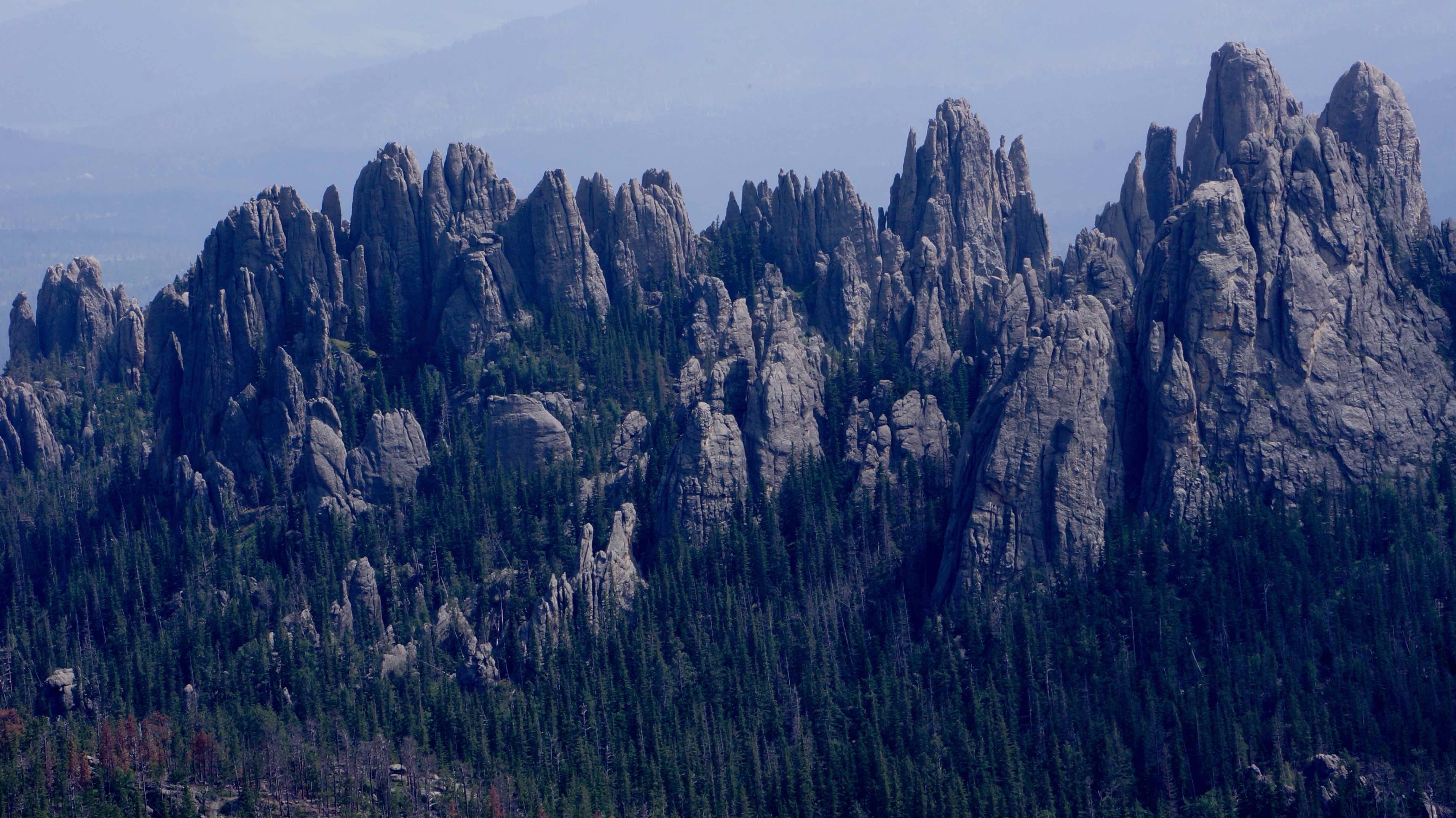
The Needles rock formation
We slept here one night. Why? Because we could.
Wall Drug – Worth It?
Negative, Ghost Rider.
But after nearly 300 miles of “Wall Drug – Free Ice Water!” & “Visit Wall Drug – 5 cent coffee” or “Kids Love Wall Drug!” signs that dot the South Dakota prairie lands every few minutes, you come to the realization that a trip to Wall Drug is inevitable.
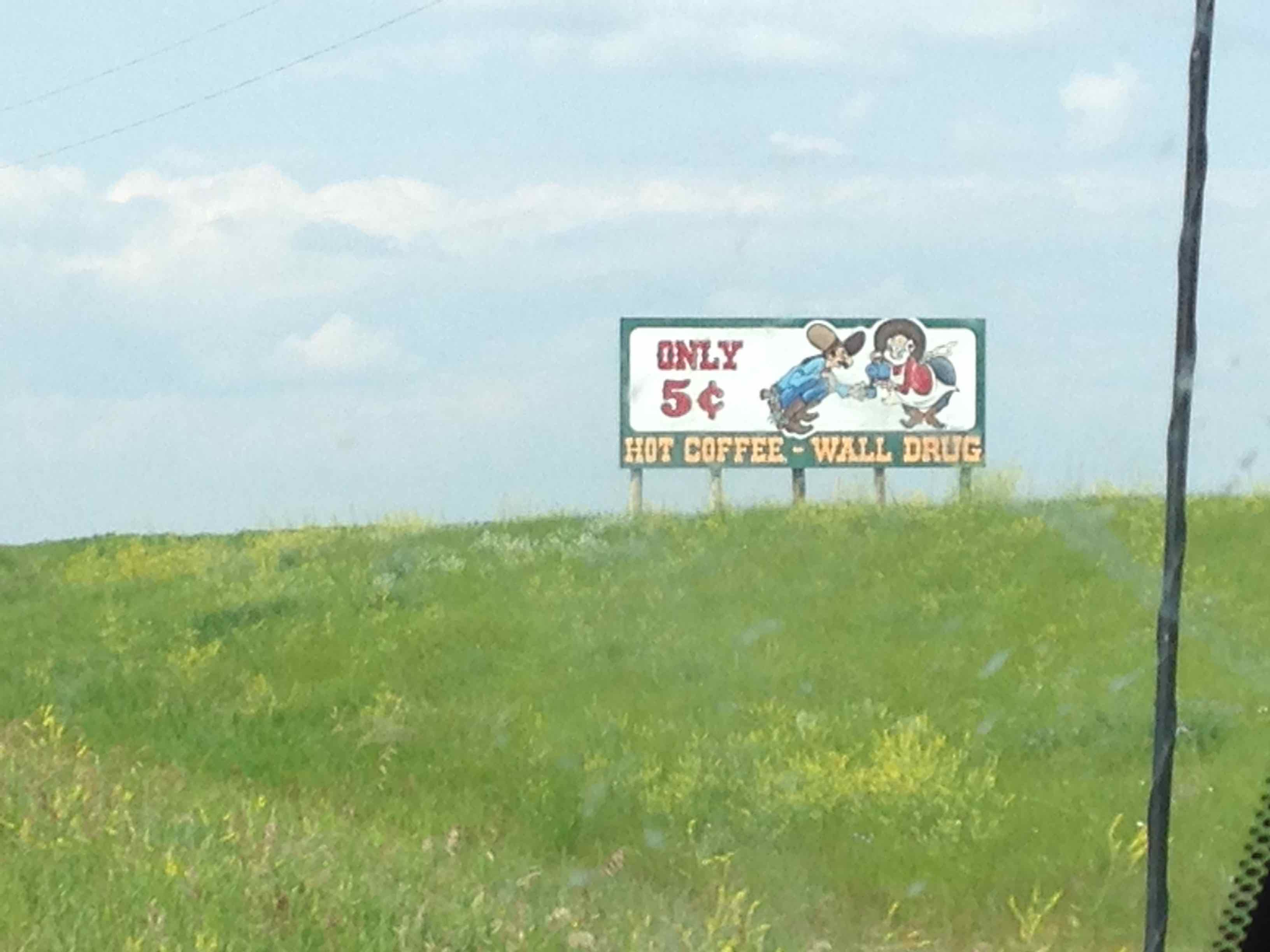
5 cent coffee? Well hell, I reckon I’ll visit Wall Drug!
Wall Drug is basically one street designed to resemble a 1880-style western town with just about every gimmicky souvenir/trinket known to man. The first thing we saw when we walked in was one of those old school, scary mechanical puppet bands, 90’s Chuck E. Cheese style – remember those? If nothing else, it’s worth a good laugh, & at least 15 cents worth of coffee 😉
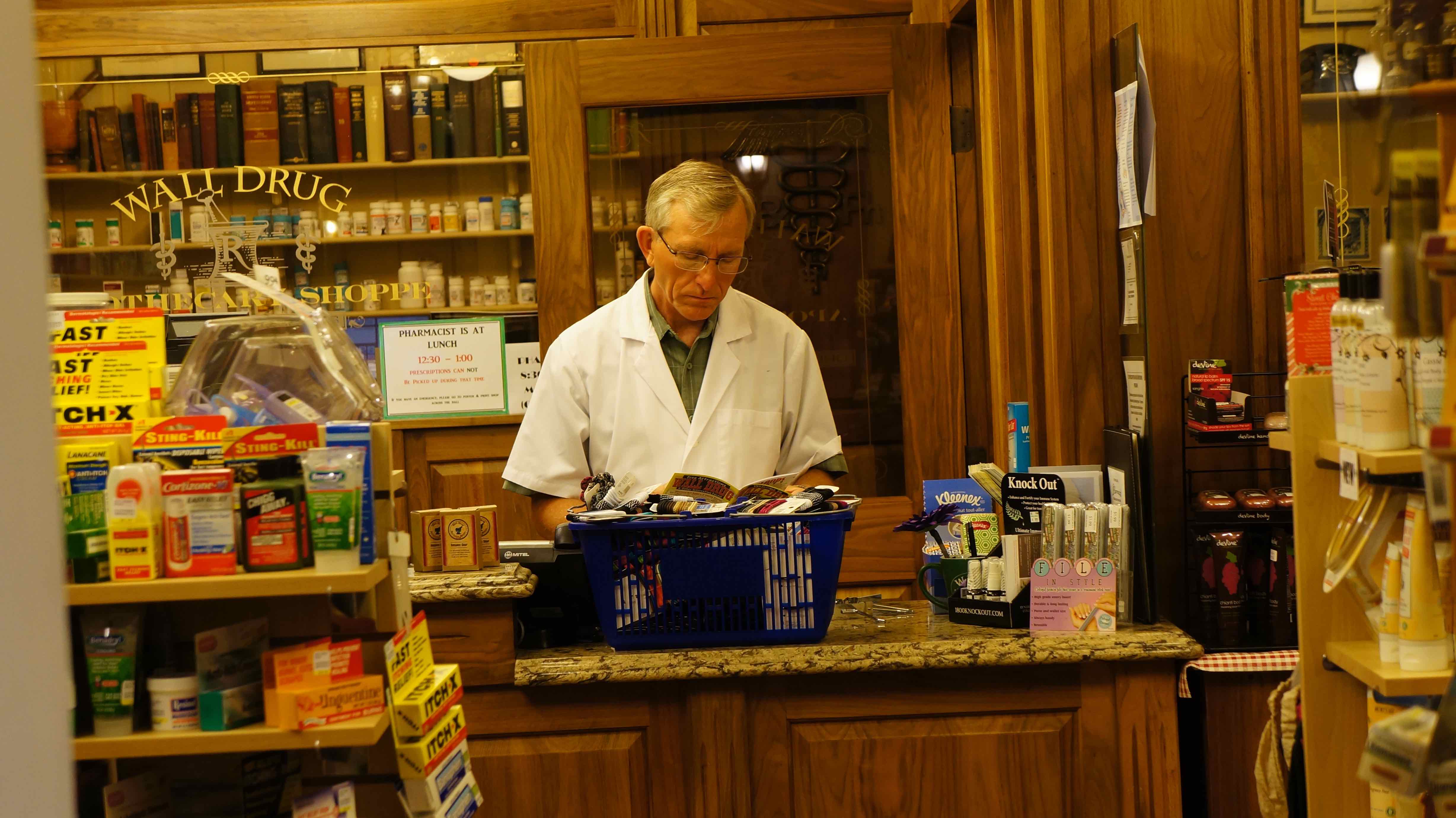
I wonder if he’s a real pharmacist
South Dakota? Totally worth it!
I always thought of South Dakota as another one of those breadbasket, Middle America states that were best to just fly over & avoid completely, but I’m happy that we made it a destination & took a few days to explore it. In fact, of all the places we went on the road trip, the Black Hills are one of the spots I most want to return to again in the future. Do yourself a favor & visit South Dakota on your next road trip – you won’t regret it!
Good resources/essential info
Stop at the rest areas on I-90 before exiting to the Badlands/Black Hills – they are stocked full of free resources likes maps, brochures, coupons, etc.
Entrance fee to Badlands National Park: $15/vehicle
Parking fee for Mount Rushmore: $11/vehicle
Entrance fee for Custer Park: $15/vehicle, $10/motorcycle
A comprehensive website about both the Badlands & Black Hills: www.blackhillsbadlands.com
The U.S. National Park Service website:
Detailed information about Black Hills campgrounds: http://www.blackhillscampgrounds.com/
Downloadable hi-rez map of the Black Hills: http://www.gwtc.net/~edgemontchamber/images/blackhillsmap11x17.jpg
Map & short description of hikes in Badlands National Park:
http://www.nps.gov/badl/planyourvisit/loader.cfm?csModule=security/getfile&pageid=286674
List of Black Hills area hotels:
http://www.blackhillsvacations.com/lodging/hotels/
Have you ever been to South Dakota? What did you think of it?
Pingback: Roadtrip USA: 9,000+ miles, 17 states, $2,000, 1 summer - Where's the Gringo?