Dakota del Sur? ¿Qué hay en Dakota del Sur?
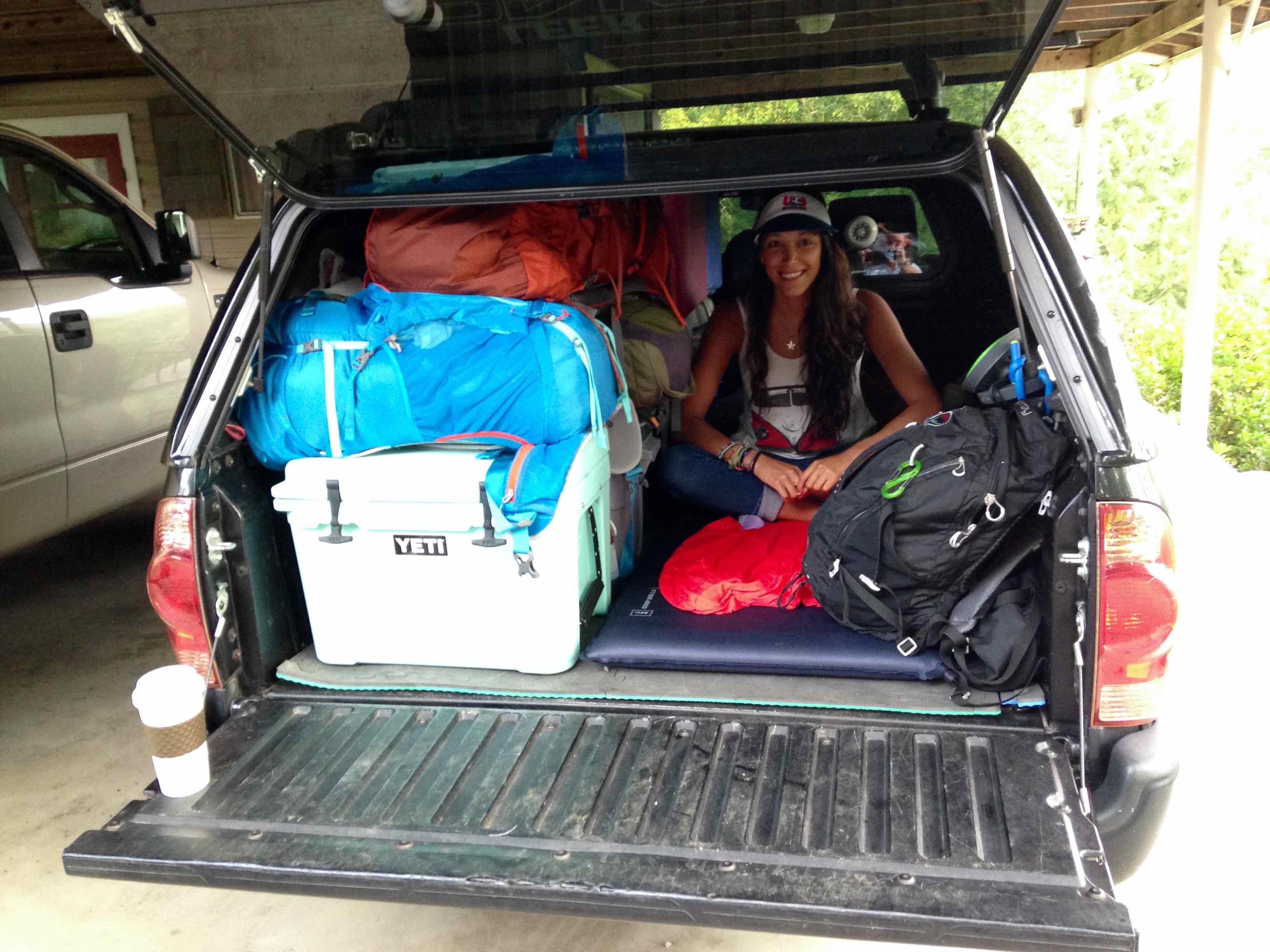
We had 2,276 milla para conducir a Glacier National Park en el noroeste de Montana. Fue nuestro primer destino & la etapa más larga de nuestra salvaje oeste viaje por carretera EE.UU., & I didn’t see how South Dakota warranted any sort of stop. No sólo tenemos que cumplir con algunos amigos en el glaciar en unos días, but we were also rolling 3 deep in my brother’s regular cab Toyota Tacoma, which meant that someone had to ride in the back of the truck for all 2,276 of those miles. Yo quería llegar lo más rápidamente & safely as possible.
«Believe me dude, the Badlands & Black Hills of South Dakota are awesome. He querido volver & explore them better ever since I went a few years ago.» my brother responded.
His stamp of approval & my eagerness to get on the road were enough, por lo que a las 7 de la mañana brillante de julio, 5th, 2014, llegamos fuera de nuestro camino de entrada de Georgia para comenzar nuestro viaje por carretera salvaje oeste americano.
Disclosure: We were only 3 deep on this roadtrip from Georgia to Montana. Gio voló a Colorado de Montana, and my brother & I continued the rest of the roadtrip solo. I’ll admit, it was dangerous & not convenient, but I really wanted my girlfriend to see Glacier NP. Plus, looking on the bright side, era sólo 2.276 del total 9,454 millas, por lo que la vida de alguien estaba en peligro solamente 24% of the entire roadtrip.
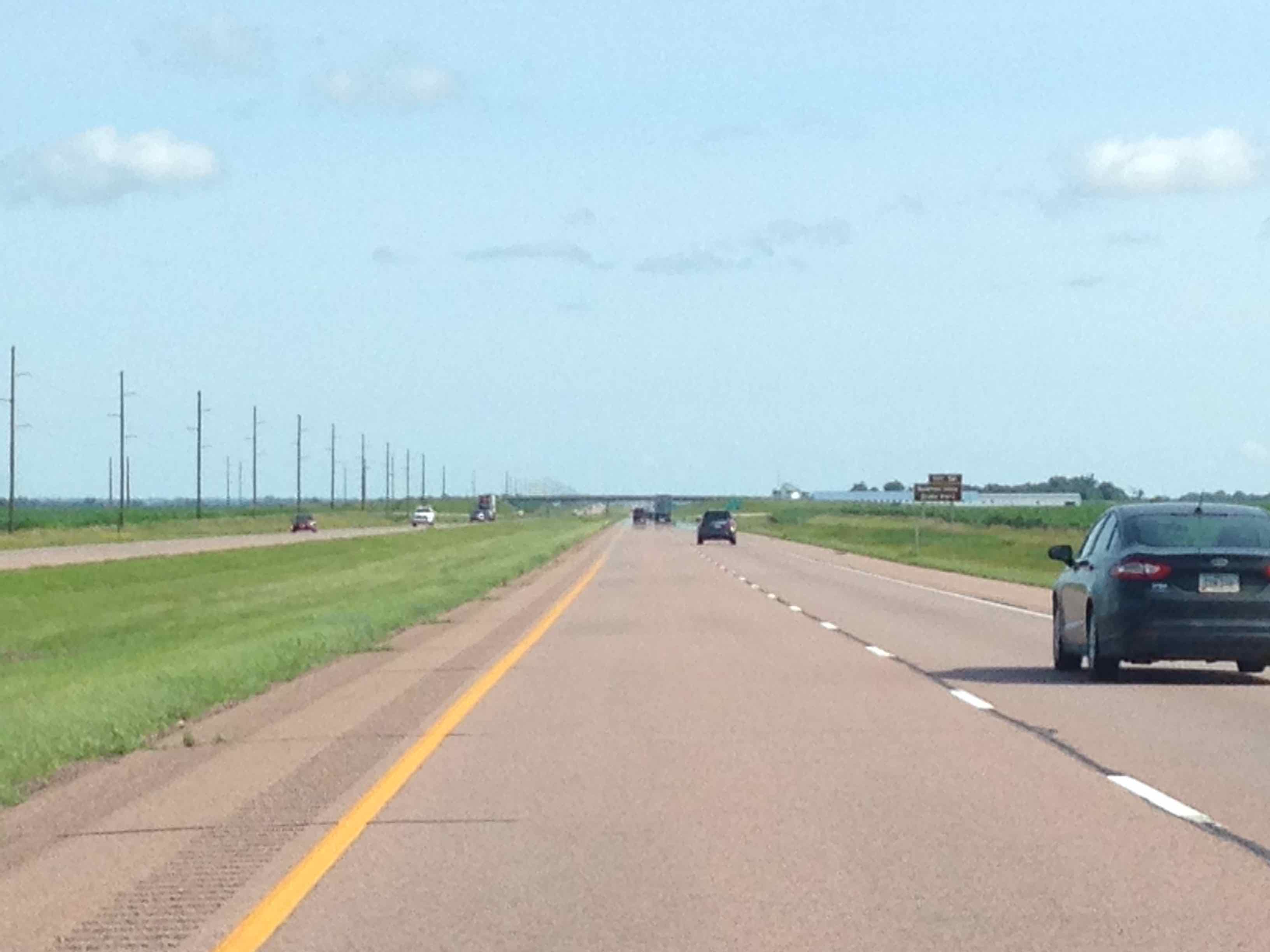
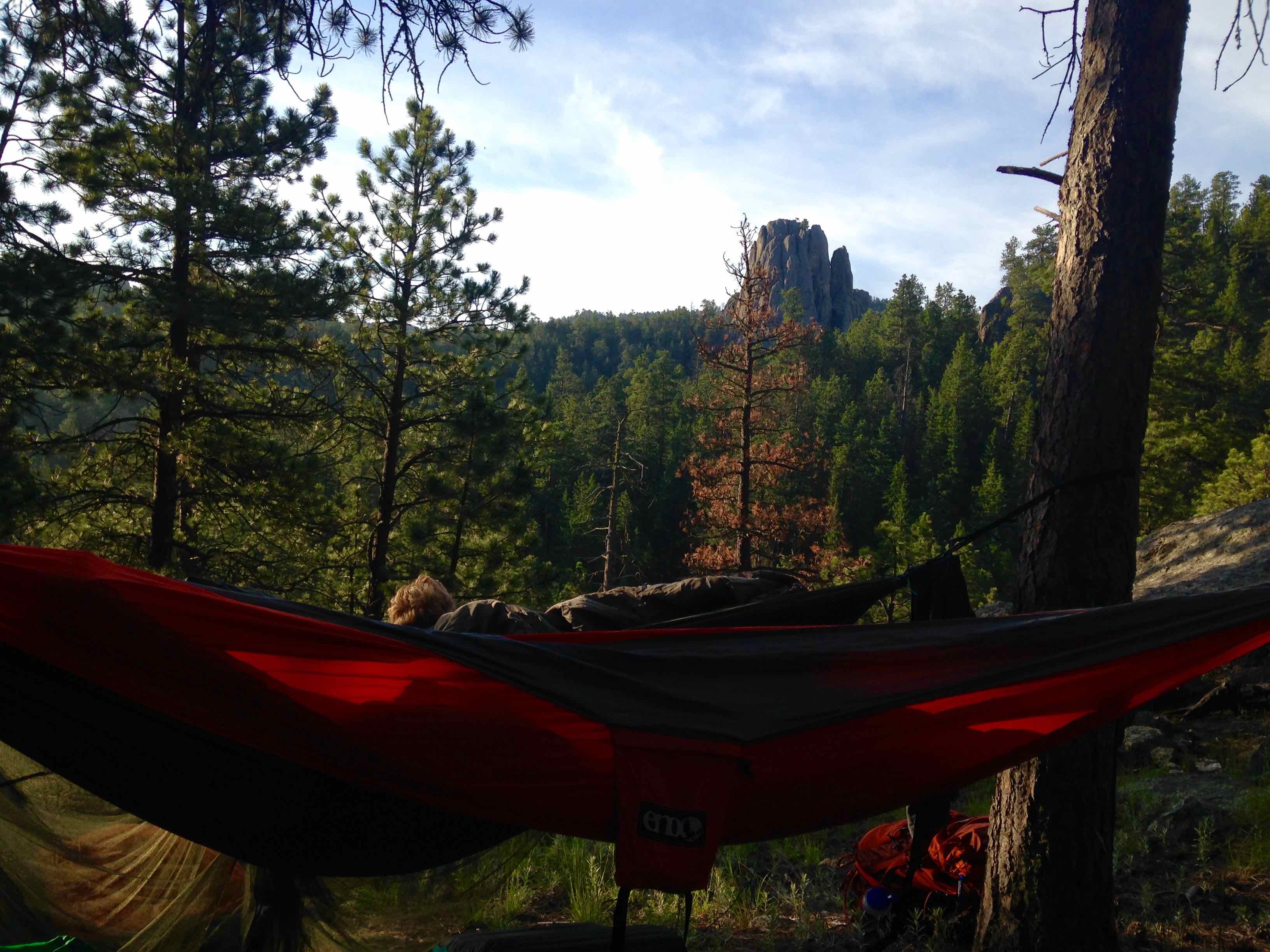
The photo pretty much represents the entire first part of the trip (al menos después de cruzar el río Mississippi hasta llegar a la Badlands)
Eastern South Dakota
Ehhhh, not so much. aquellos casi 400 miles one must drive on I-90 across South Dakota are grueling. Destacan: pasando la ciudad natal de la infancia de Laura Ingalls Wilder, finally crossing the Missouri River, & Wall Drug advertisements every 10 millas (more on that later).
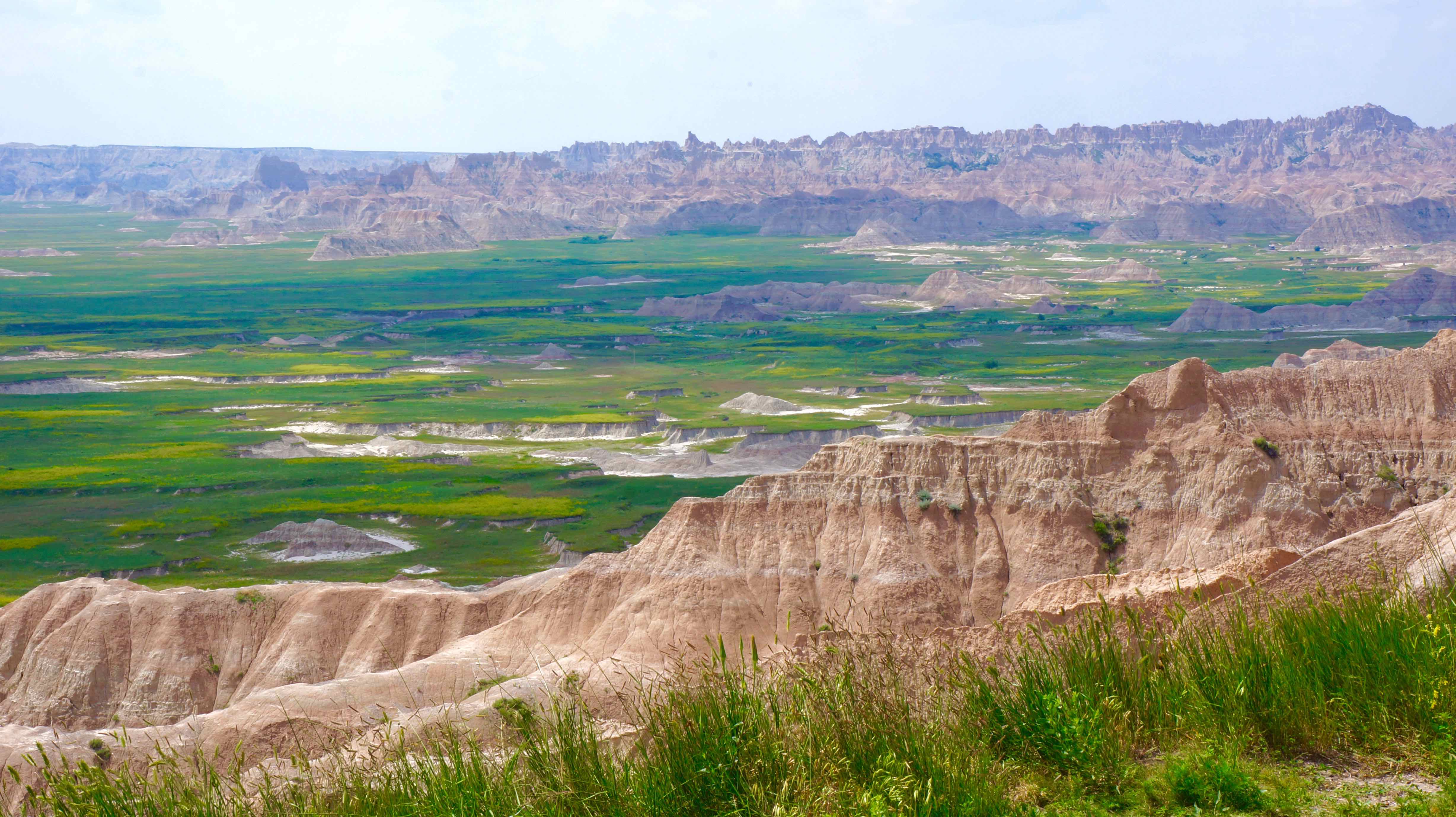
Badlands National Park
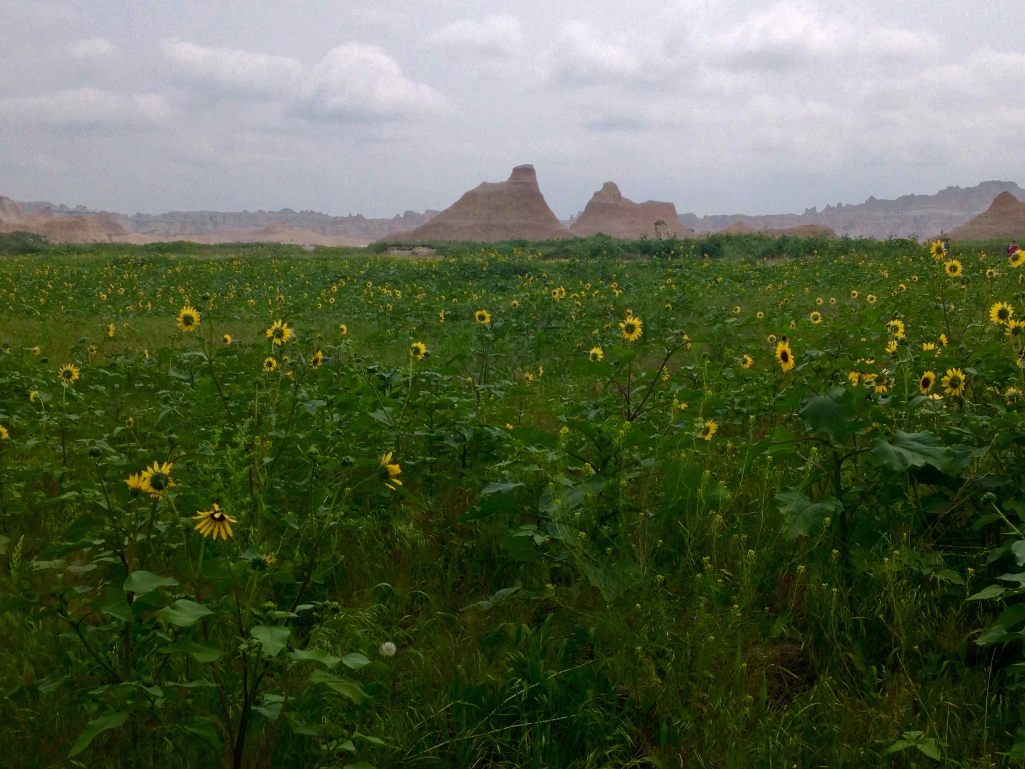
Just when you don’t think you can take any more Little House on the Prairie scenery, sharply eroded buttes, agujas, & pináculos comienzan a levantarse de la hierba de la pradera de aparentemente en ninguna parte. It’s hard to believe your eyes at first, not only because of the monotonous 400 miles that you just drove, sino también por cómo todo cambia bruscamente.
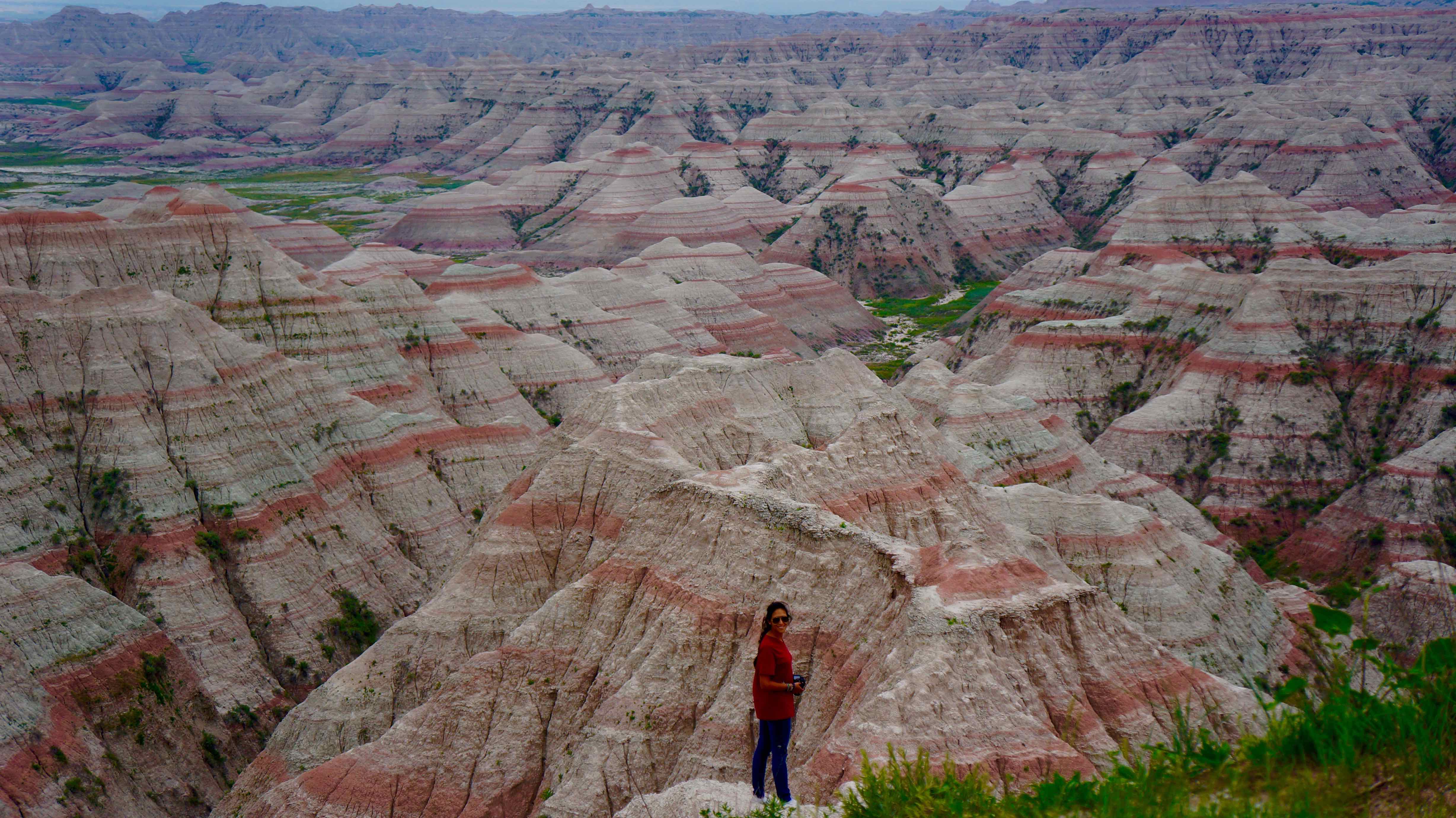
The start of the Badlands «wall»
Not only do the Badlands look unique, but it’s also been a huge destination for archaeologists & scientists as ancient fossils of extinct animals like the sabre-toothed tiger & various dinosaurs have been found here.
Suggested time: 2 days
Lo que hicimos
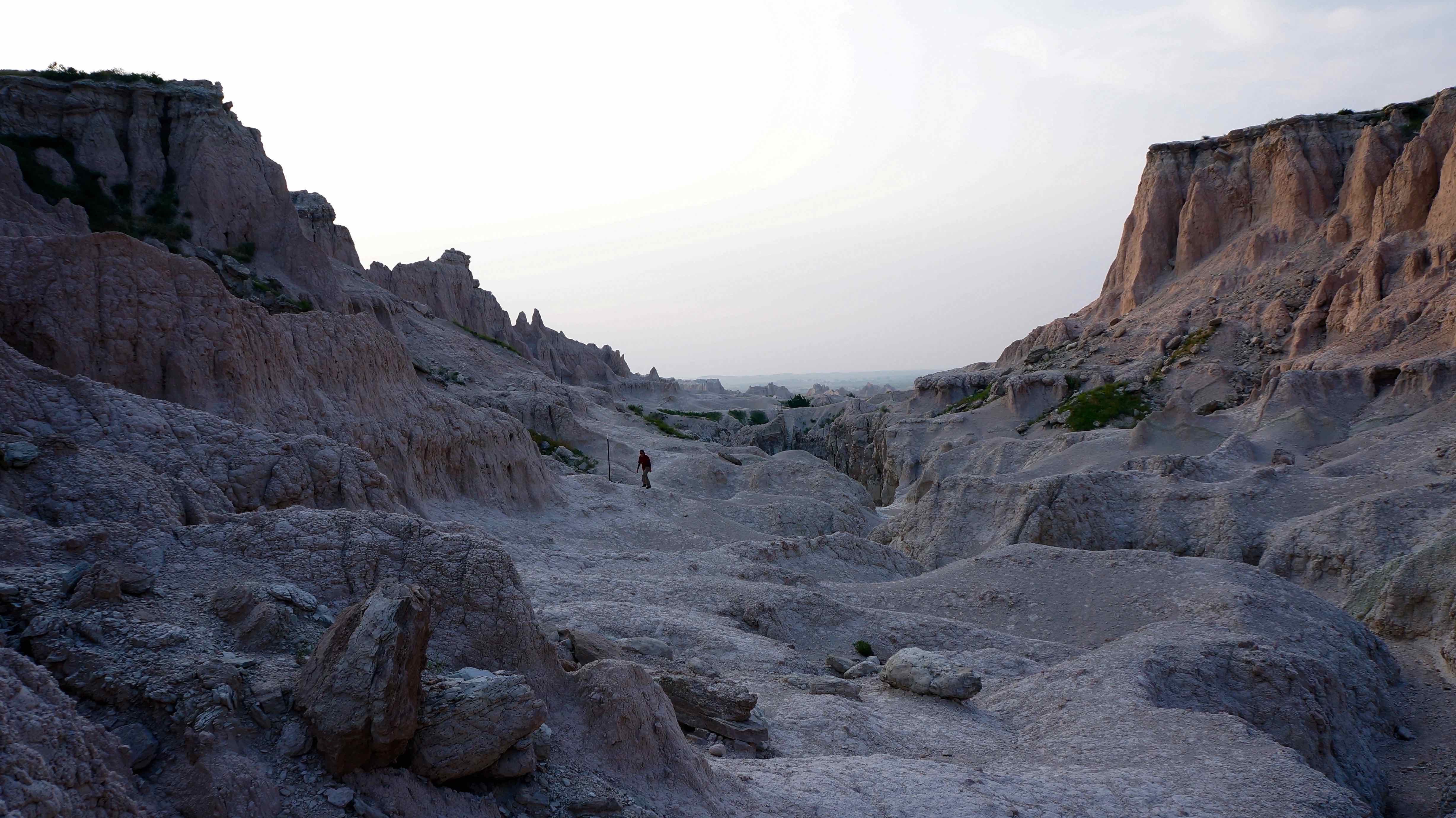
- Castle Trail – the longest trail in the park, this trail snakes through idyllic flower prairie land flanked on all sides by sandy, eroded pinnacles & washed out gullies. Usted no tiene que caminar todo el bucle (10.8 millas), but can combine parts of the trail with other trails to double back for a shorter hike.
- Notch Trail – a shorty, but a goody. Caminar a través de las cimas de las montañas se desmoronan, climb the rope ladder, and wander through a picturesque canyon to find the «notch» in the wall for a great view of the prairie lands.
Notch trail, or the Moon?
- Saddle Pass Trail – best when combined with the Castle trail, the viewpoint provides one of the best vistas of the Badlands that there is.
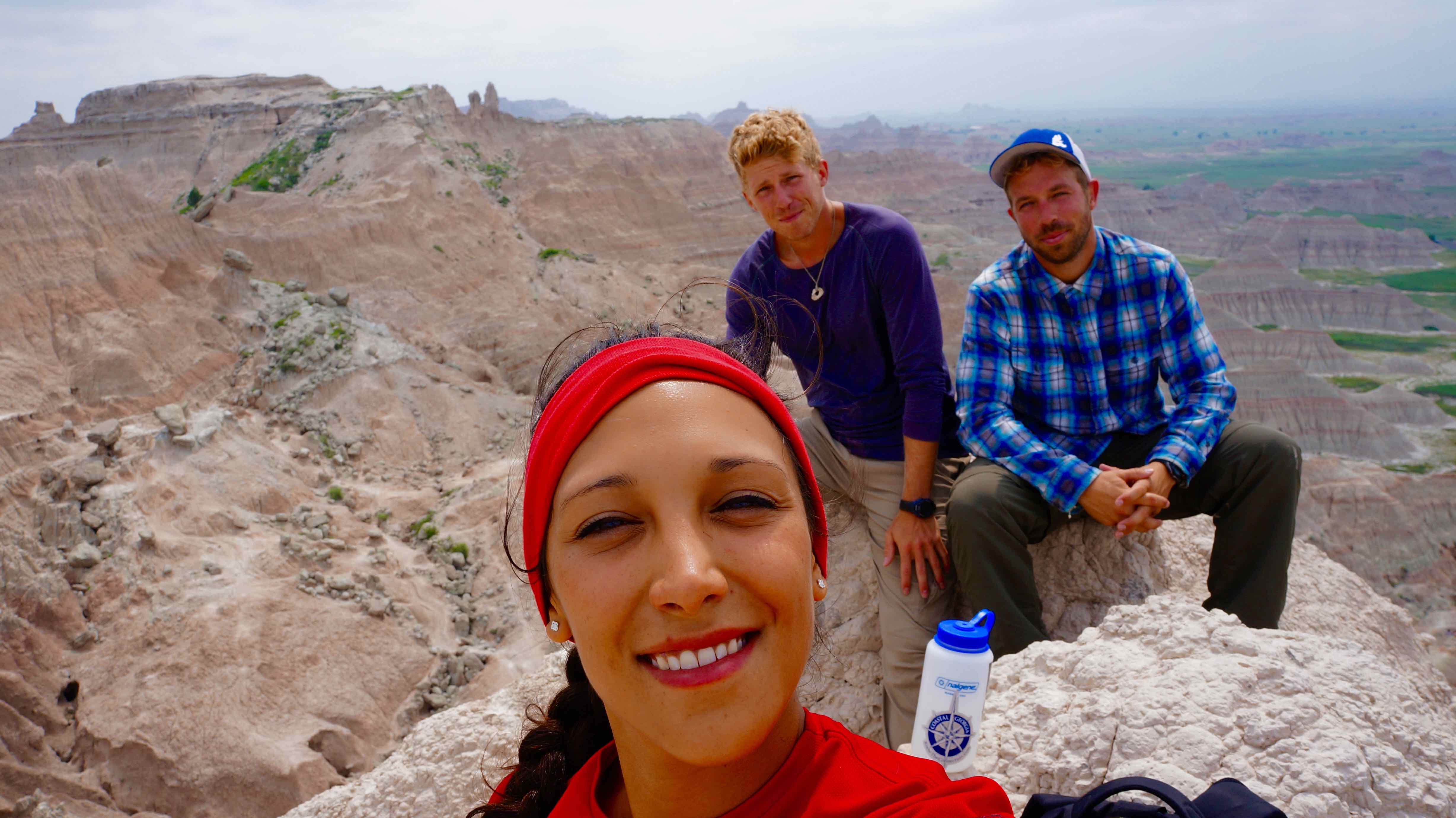
Saddle Pass viewpoint
- Badlands Loop Road – this road winds on for 50 miles through the park, giving you one spectacular view of the Badlands wall after the other.
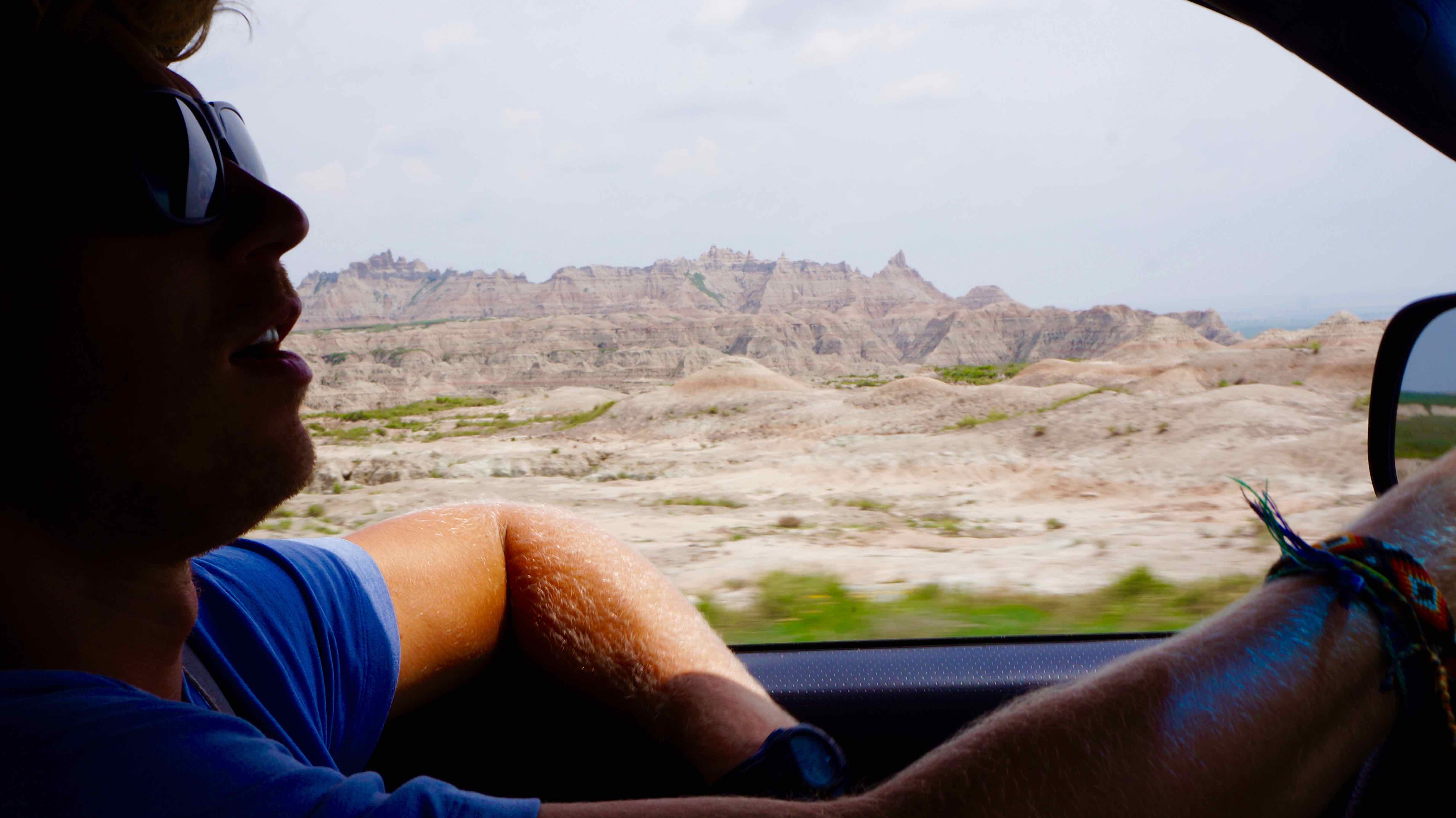
Driving the Badlands Loop Road
One of the stops on the Badlands Loop road
Located only 45 miles away, en la reserva india de Pine Ridge Lakota se encuentra el Monumento Histórico Nacional el campo de batalla de Wounded Knee. En diciembre 29, 1890, una pelea estalló entre un grupo de indios Lakota & los soldados de caballería de Estados Unidos, mientras que el ejército estaba tratando de eliminar los Lakota de sus tierras. En la confusión que siguió, between 200-300 Lakota indian men, women, & children, mostly unarmed, were massacred by the US Army.
El evento es considerado ampliamente para marcar el final de un conflicto violento entre los colonos blancos & Nativos americanos en los EE.UU.. A pesar de que he oído el sitio real no es muy mantiene, Todavía deseo que podría haber pagado mis respetos & reflejado solemnemente, por un capítulo muy triste en la historia de Estados Unidos.
Donde quedarse:
Cedar Pass Campground, situado en el parque, or Badlands interior Campground, situado justo fuera del parque, donde nos alojamos por $ 18 / noche.
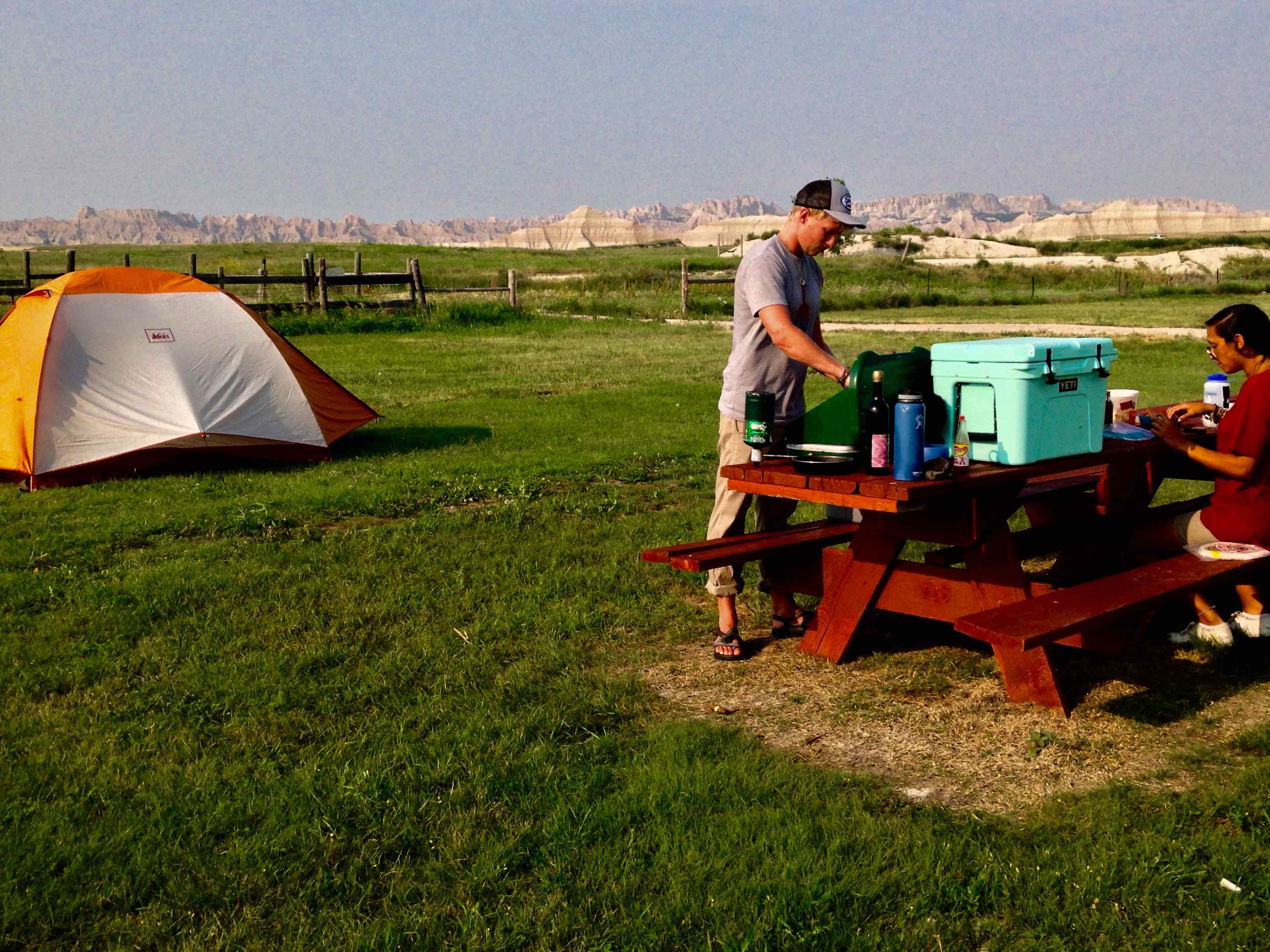
Vista desde nuestro campamento en Badlands interior Campground
El Bosque Nacional Hills Negro
El Negro Hills, situado alrededor de una hora al oeste de las Badlands, También consiguieron su nombre de la tribu india de Lakota. El bosque siempre verde en expansión abarca tan densamente estas montañas ondulantes que aparecen negro de lejos. But it’s the countless boulder faces that sporadically jut out of the dense forest & dot the landscape that make this place really unique. Era una de esas caras expuestas del canto rodado que fue elegida para ser la ubicación del Monte Rushmore.
Suggested time: 3-4 days
Lo que hicimos:
- Camped at Sheridan Lake – a beautiful lake, great for fishing, swimming, & picnicking. Acampamos en la costa sur, but the north shore has a marina, boat ramp access, & the largest swimming beach in the forest.
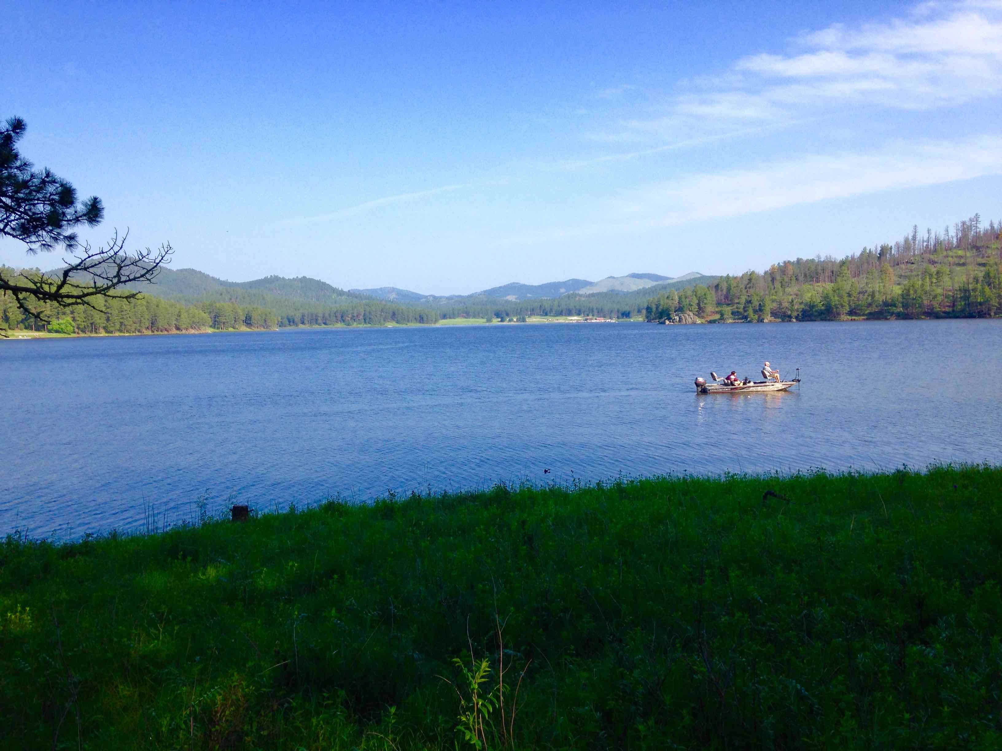
Our primitive campsite on a nice, grassy peninsula on Sheridan
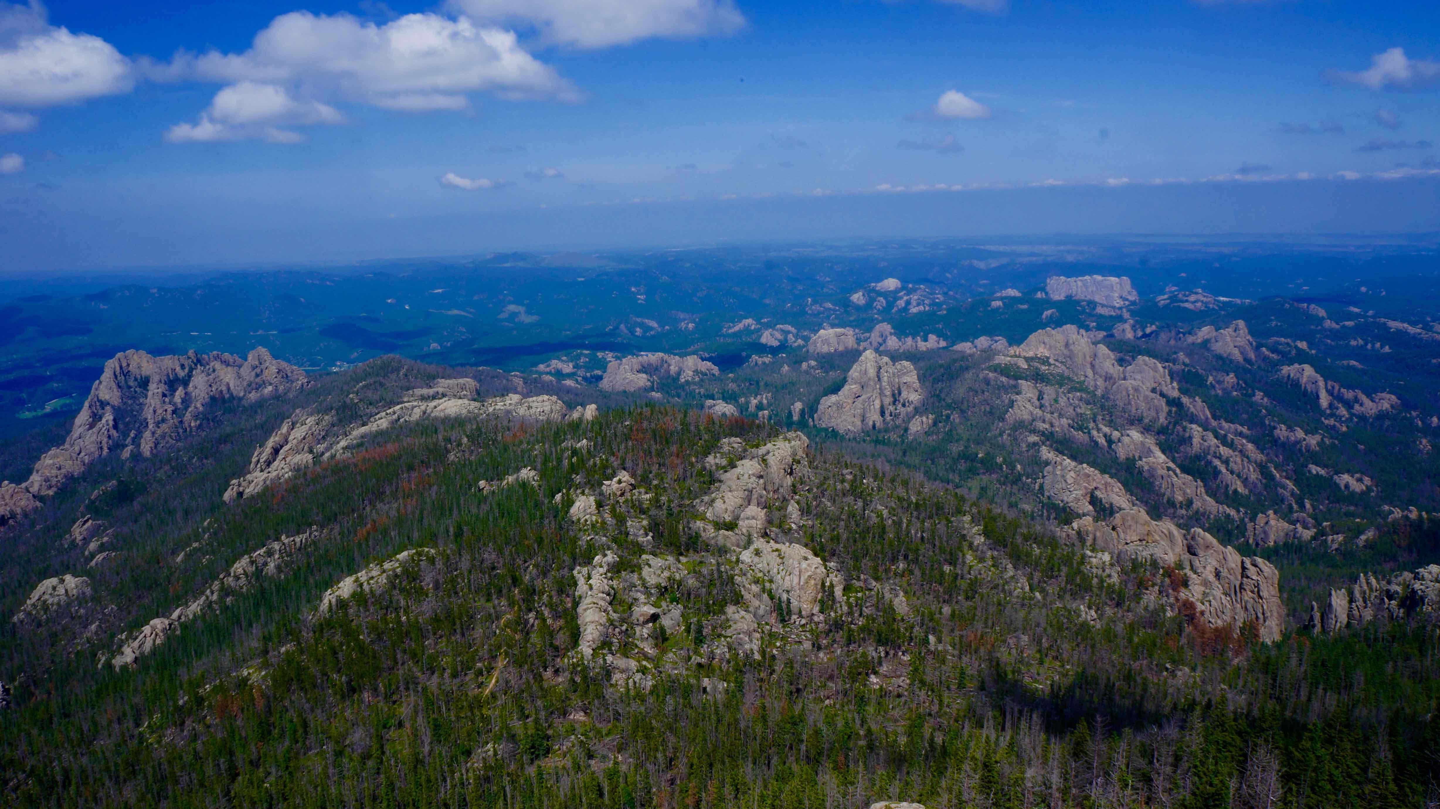
- Harney Peak – 7,242 ft (2,207m) tall (tallest point in the Black Hills & east of the Rockies). Hay 2 main ways to hike Harney Peak: lo más fácil, popular trailhead is at Sylvan Lake and is a 7 mile roundtrip hike with 1,100 ft in elevation gain. The more challenging, less-trafficked route’s trailhead is at Willow Creek Horse camp. Es más o menos 11.6 miles roundtrip, & has 2,200 feet in elevation gain.
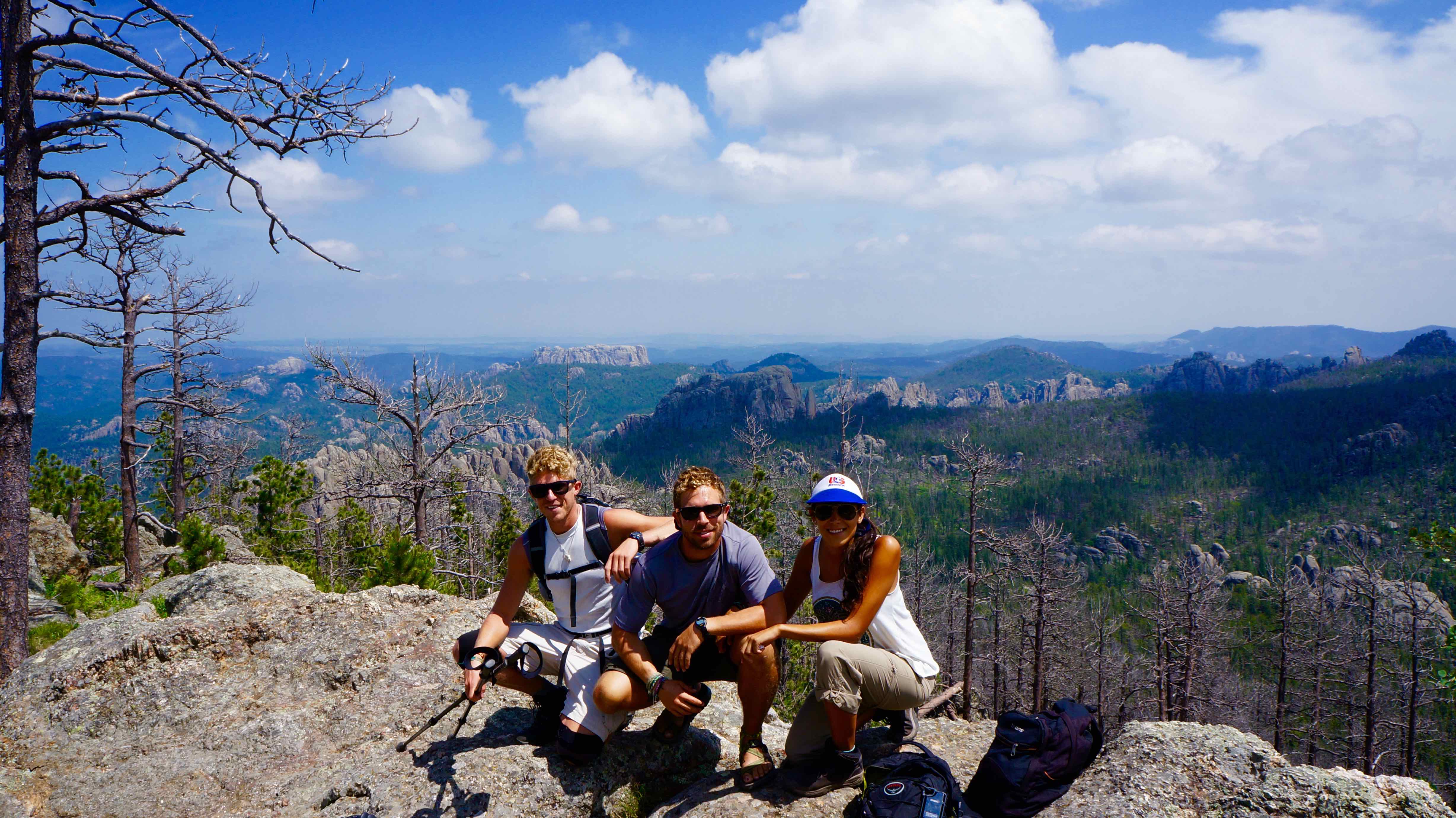
We started at Willow Creek Horse Camp
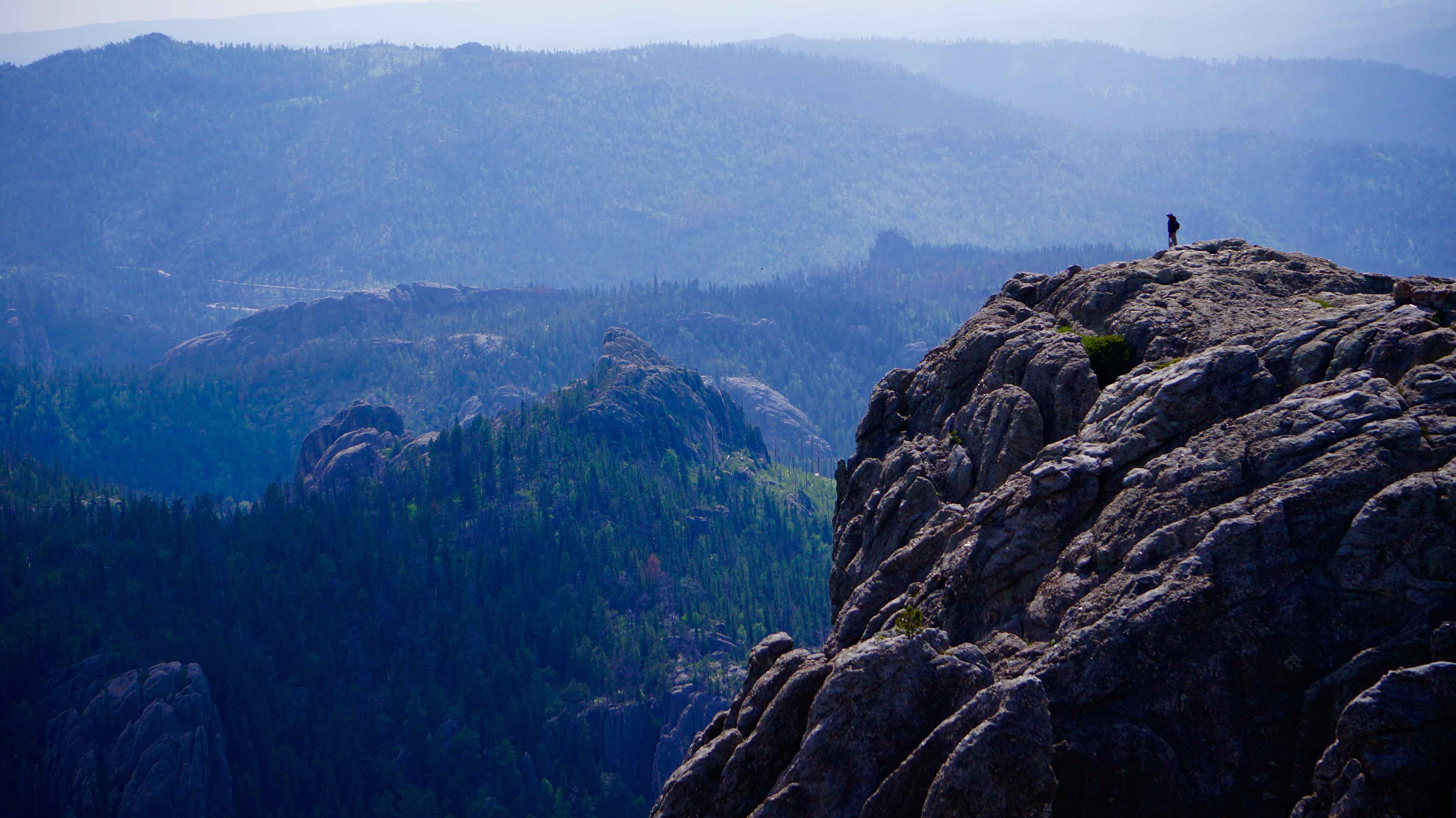
From the summit tower of Harney Peak
- Mount Rushmore – duh. Visitar el Monte Rushmore es una experiencia obligatoria para todos los estadounidenses. Personalmente, I wasn’t expecting much more than thousands of fanny-pack toting tourists crowded around a fence and jostling for the best angle of George Washington’s nostrils. Y para la mayoría de la gente, that’s exactly what it is. But being the restless adventurers we are, we found another way to take in this great national monument.
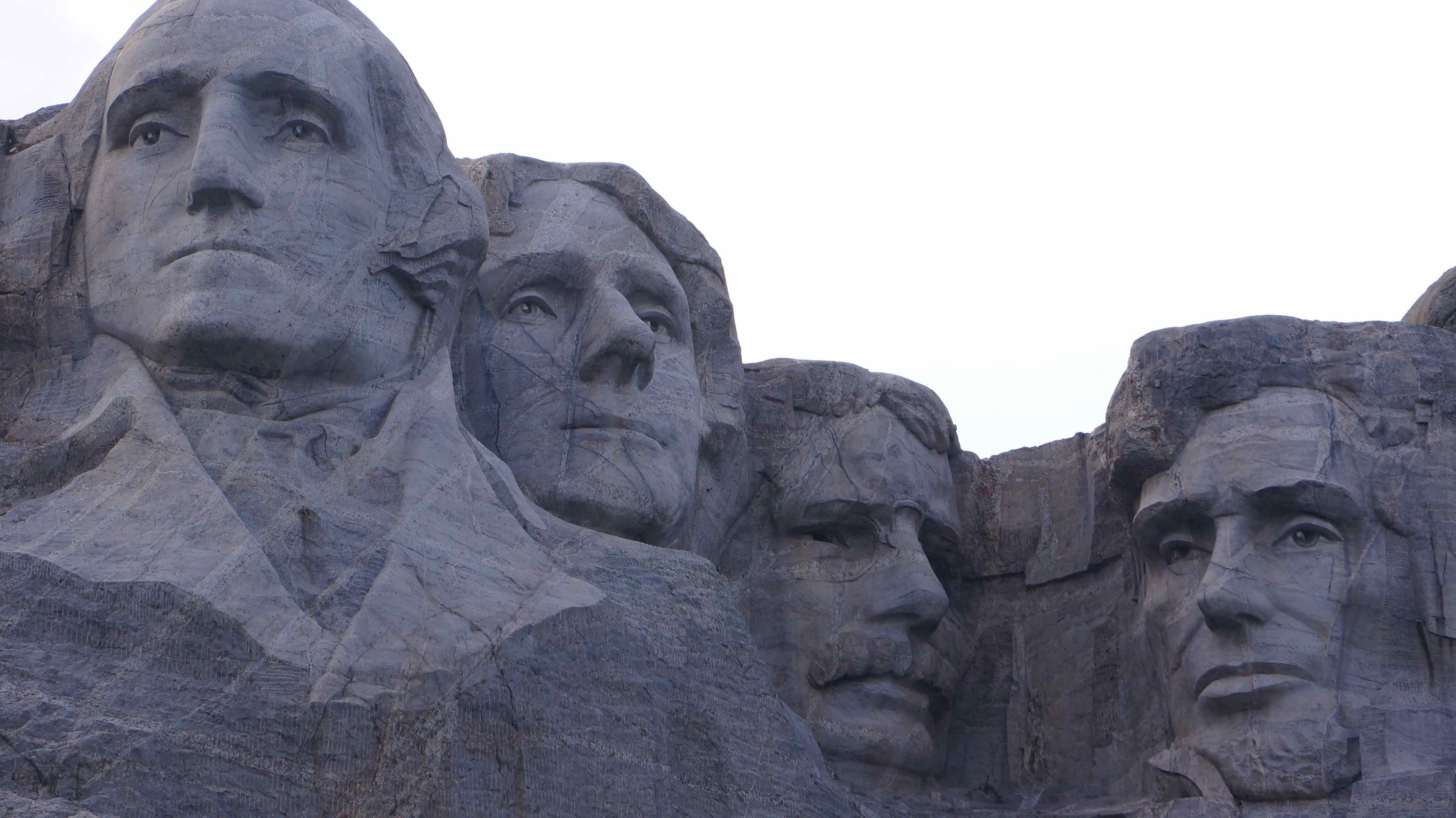
How We Made Mount Rushmore WAYYY Cooler
Part of the Rushmore experience includes walking the Presidential nature trail. Es un 0.6 millas vía pavimentada que te lleva en un bucle pasado varias vistas de la montaña. Se acompaña con placas informativas sobre cada uno de los presidentes’ life.
The loop is meant to be walked clockwise, and as we started the down the nature trail to the left of the main viewing platform, it didn’t take us 2 minutes to push a few boundaries. A medida que el camino continúa en línea recta hacia los presidentes, a forested hill rises steeply to the left. Apenas podíamos hacer a través de los árboles lo que parecía ser más rocas gigantes cerca de la cima de la colina, and glancing over each shoulder, we quickly scampered off the path & up into the woods.
A 3-5 minute climb brought us to the top of this little side hill, which was indeed crested by giant, exposed boulders. Proporcionó el perfecto, private view of Mount Rushmore. Usted está garantizado para ser las únicas personas allí, y la soledad & ángulo nunca antes visto de uno de los sitios más fotografiados en el país sin duda le dan una sensación VIP.
I encourage any of you to try it out! No vimos ninguna señal de prohibición mientras que sube hasta allí, & I don’t see any crime if you’re physically fit enough to scramble up some rocks. ¿No has oído de mí, aunque!
What I wish we did:
- Crazy Horse – an ode to the late Lakota indian chief, this monument will be even bigger than Mount Rushmore when (if) completed
- Custer State Park – named by Fox News as one of the World’s Top Ten Wildlife Destinations, Custer Park is actually a state park located with the Black Hills national forest. Me hubiera gustado haber ido a ver algunos animales salvajes, but also to drive the Needles Highway – a scenic road that winds through massive granite needles & ominous tunnels in the mountains.
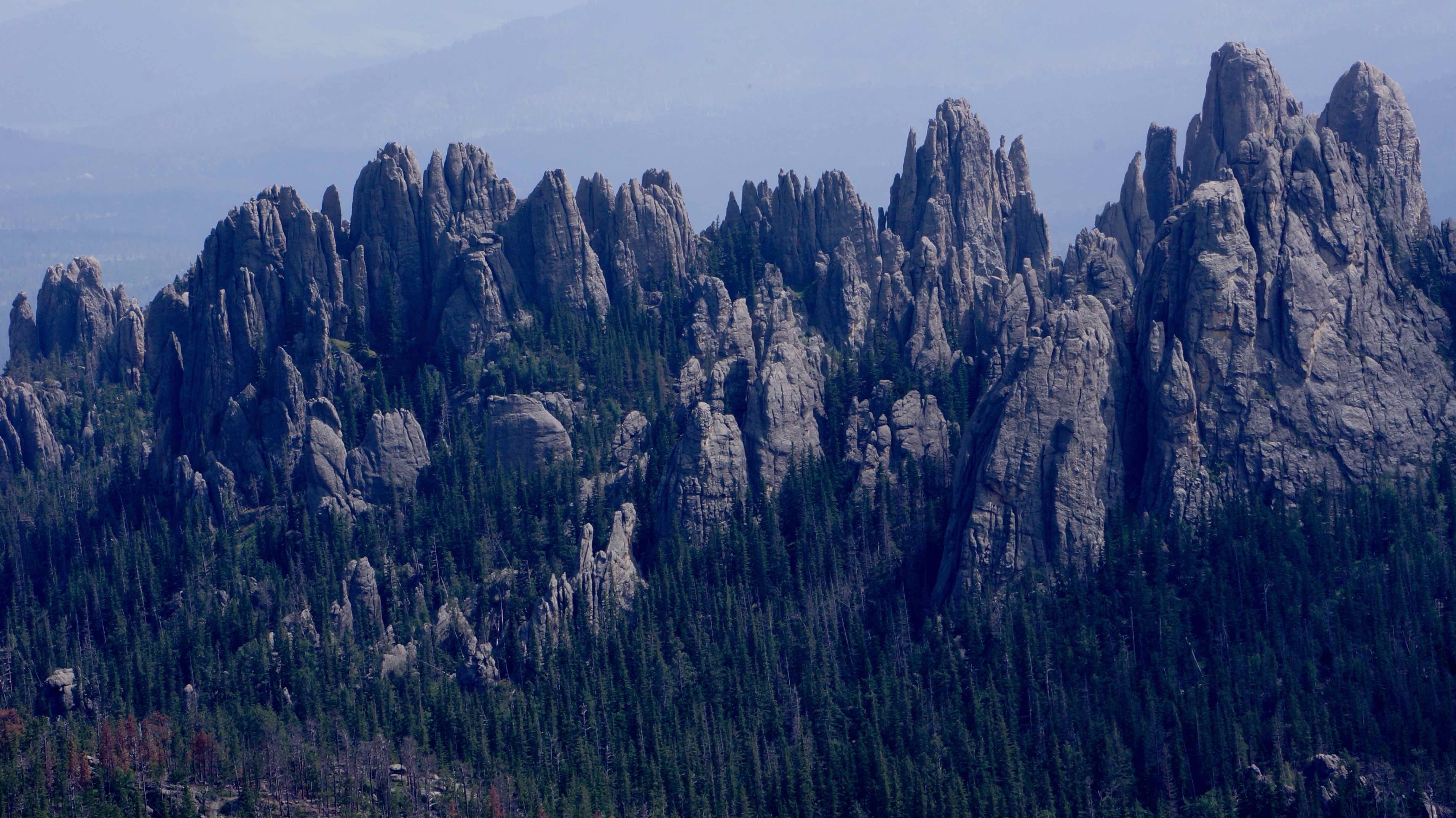
The Needles rock formation
We slept here one night. Por qué? Because we could.
Wall Drug – Worth It?
Negative, Ghost Rider.
But after nearly 300 millas de«Wall Drug – Free Ice Water!» & «Visit Wall Drug – 5 cent coffee» or «Kids Love Wall Drug!» signs that dot the South Dakota prairie lands every few minutes, you come to the realization that a trip to Wall Drug is inevitable.
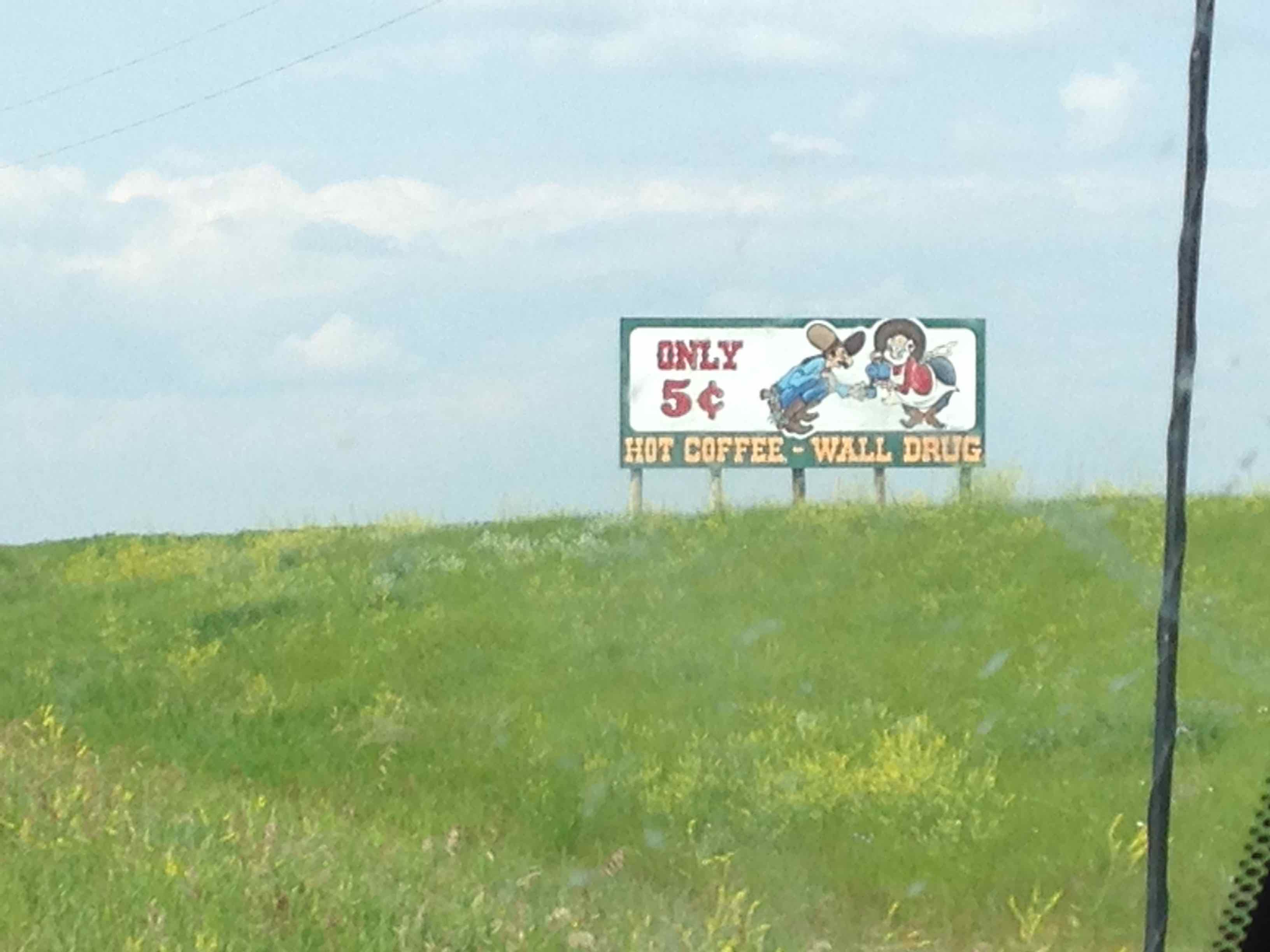
5 cent coffee? Well hell, I reckon I’ll visit Wall Drug!
Wall Drug is basically one street designed to resemble a 1880-style western town with just about every gimmicky souvenir/trinket known to man. La primera cosa que vimos cuando entramos fue uno de los de la vieja escuela, scary mechanical puppet bands, 90‘s Chuck E. Quesoestilo – recordar a aquellos? Si nada mas, vale la pena una buena risa, & Al menos 15 centavos de café 😉
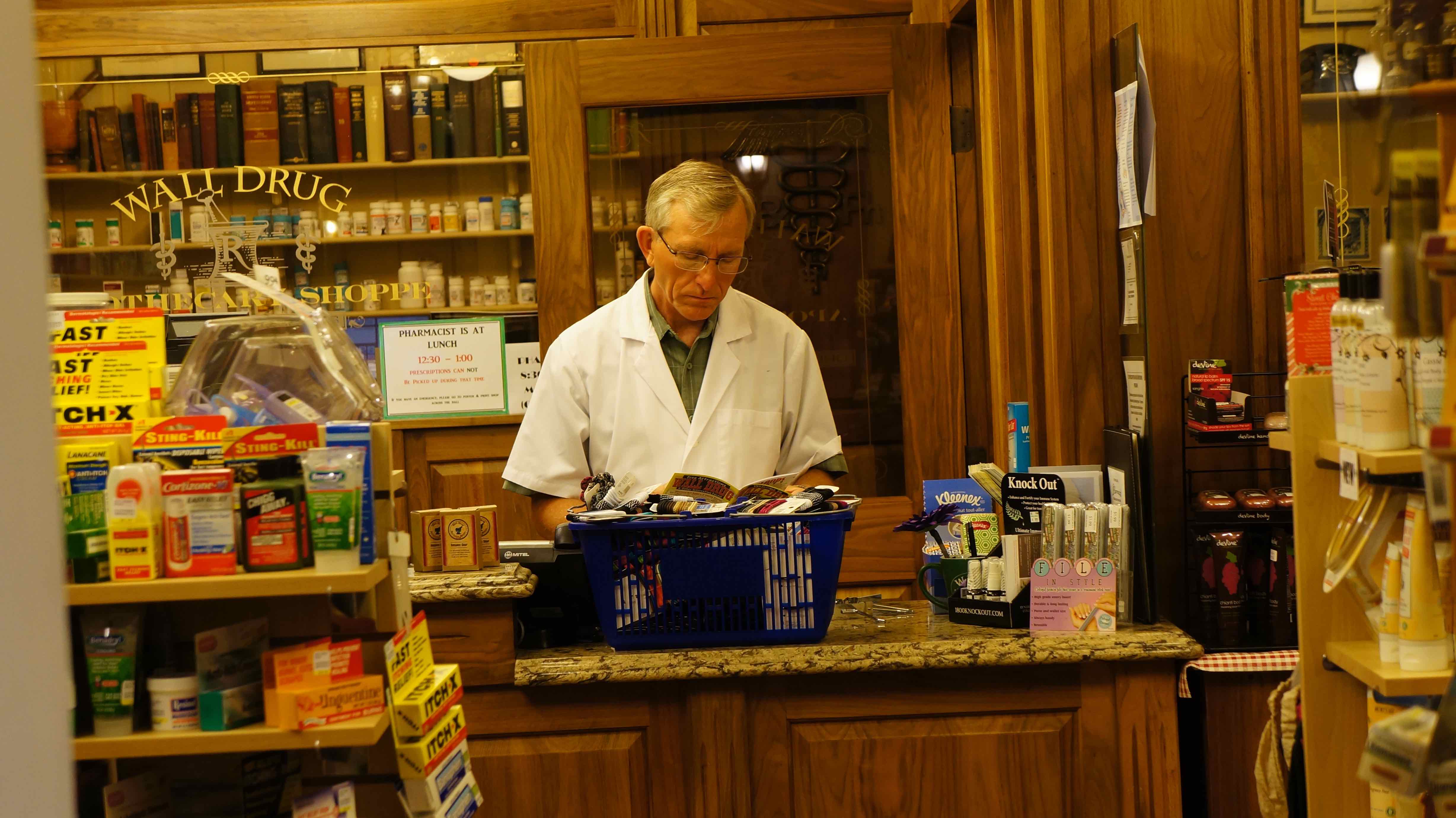
Me pregunto si él es un verdadero farmacéutico
Dakota del Sur? Merece la pena!
Siempre pensé en Dakota del Sur como otro de esos granero, estados del Medio América que estaban mejor apenas sobrevuelan & evitar por completo, pero estoy feliz de que hemos hecho un destino & tomó unos días para explorarlo. In fact, de todos los lugares que fuimos en el viaje por carretera, Black Hills son uno de los puntos que más quieren volver a otra vez en el futuro. Do yourself a favor & Dakota del Sur visitar en su próximo viaje por carretera – you won’t regret it!
Buenos recursos / información esencial
Stop at the rest areas on I-90 before exiting to the Badlands/Black Hills – éstas están disponibles llena de recursos libres le gusta mapas, brochures, coupons, etc.
Entrance fee to Badlands National Park: $15/vehicle
La tarifa de aparcamiento para el Monte Rushmore: $11/vehicle
Entrance fee for Custer Park: $15/vehicle, $10/motorcycle
A comprehensive website about both the Badlands & Black Hills: www.blackhillsbadlands.com
Los Estados Unidos. National Park Service website:
Detailed information about Black Hills campgrounds: http://www.blackhillscampgrounds.com/
Downloadable hi-rez map of the Black Hills: http://www.gwtc.net/~edgemontchamber/images/blackhillsmap11x17.jpg
Map & short description of hikes in Badlands National Park:
http://www.nps.gov/badl/planyourvisit/loader.cfm?csModule=security/getfile&pageid=286674
List of Black Hills area hotels:
http://www.blackhillsvacations.com/lodging/hotels/
Have you ever been to South Dakota? Que piensas de eso?
Pingback: Roadtrip EE.UU.: 9,000+ millas, 17 estados, $2,000, 1 el verano - ¿Dónde está el Gringo?